
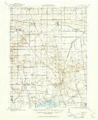
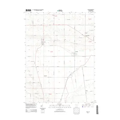
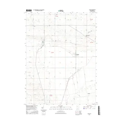
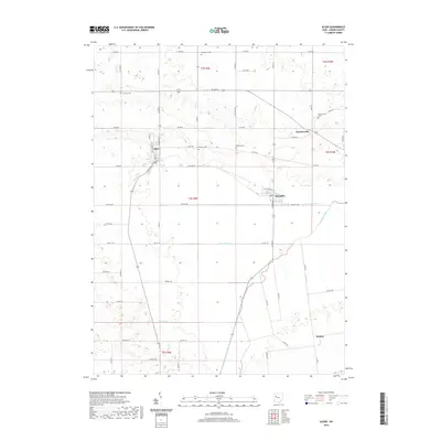
1943 Map of Alger
USGS Topo · Published 1943About this map
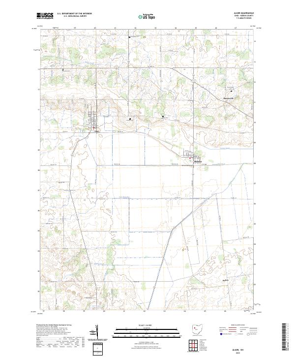
The headwaters of the Scioto River and the northern shores of Indian Lake anchor this 1943 military survey of Hardin, Allen, and Auglaize Counties. The landscape is defined by an intensive network of agricultural drainage, with labels like Lord Ditch, Cooney Ditch, and Slow Ditch revealing how the marshy terrain was reclaimed for farming. This era shows a densely settled rural interior, evidenced by a high concentration of named country schoolhouses—such as Sugarfree Sch, Rising Sun Sch, and Mustard Sch—placed at nearly every crossroads to serve the surrounding farm families.
Find a feature on this map
77 named features on this map. Tap any name to fly to it.
Don’t see what you’re looking for? This feature index may not catch every label — zoom into the map to look around manually.
Map Details
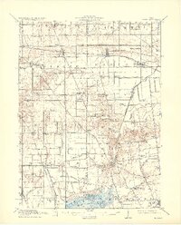
Editions of this 1943 Alger Map
This is the sole edition of this map. No revisions or reprints were ever made.
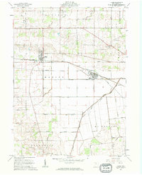
Historical Maps of Alger Through Time
9 maps found
Featured Locations
- Waynesfield, OH
- Belle Center, Richland Township
- Alger, Marion Township
- McGuffey, Marion Township
- Roundhead, Roundhead Township