
Loading...
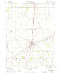
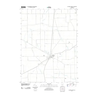
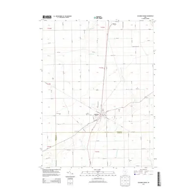
Loading map...1908 Map of Columbus Grove
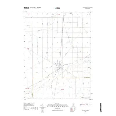
USGS Topo · Published 1932About this map
Columbus Grove serves as a major railway hub in this early twentieth-century survey of Putnam and Allen Counties. The landscape is defined by a dense web of transportation, where traditional steam lines like the Northern Ohio RR and the Detroit Toledo and Ironton RR intersect with modern interurban routes such as the Lima and Pittsburg Electric RR. This infrastructure supported a network of small agricultural and industrial centers including Kalida, Vaughnsville, and Elida.
Find a feature on this map
55 named features on this map. Tap any name to fly to it.
Don’t see what you’re looking for? This feature index may not catch every label — zoom into the map to look around manually.
Map Details
Date Portrayed1908
Date Published1932
PublisherU.S. Geological Survey
Map TypeTopographic
Scale1:62,500
Physical Dimensions16.5 x 19.8 inches
Editions of this 1908 Columbus Grove Map
This is the sole edition of this map. No revisions or reprints were ever made.
Historical Maps of Lima Through Time
8 maps found


Featured Locations
Source Details
SourceU.S. Geological Survey
CopyrightPublic Domain