
Loading...
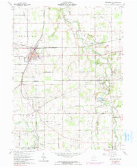
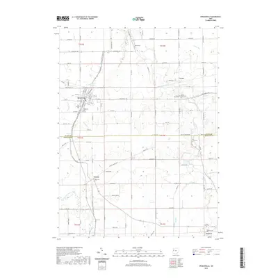
Loading map...1911 Map of Spencerville
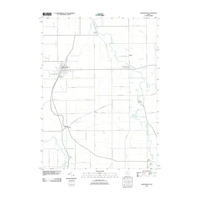
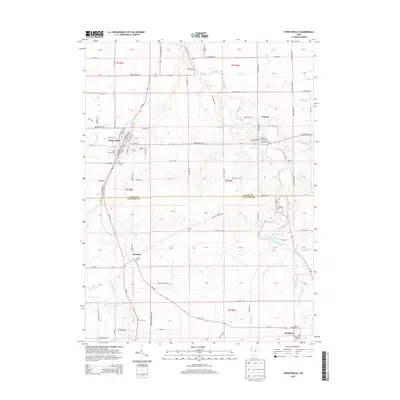
USGS Topo · Published 1942About this map
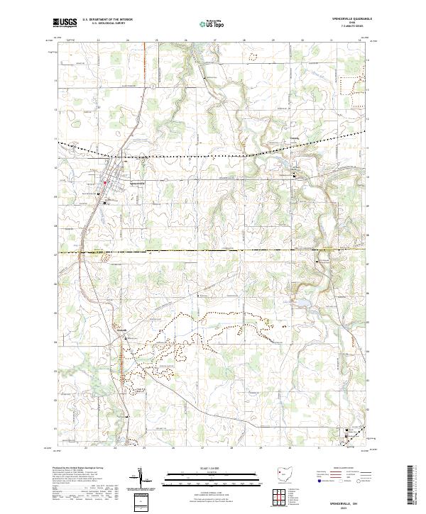
St Marys serves as a major hub for commerce and transit in this early 20th-century landscape, where the Miami and Erie Canal and its associated feeder channel intersect with a dense network of steam and electric railways. The western portion of the map is dominated by the northern shoreline of Grand Lake, also labeled as Lake St Marys, showing the bulkhead and a cluster of Artesian Wells near the town center.
Find a feature on this map
112 named features on this map. Tap any name to fly to it.
Don’t see what you’re looking for? This feature index may not catch every label — zoom into the map to look around manually.
Map Details
Date Portrayed1911
Date Published1942
PublisherU.S. Geological Survey
Map TypeTopographic
Scale1:62,500
Physical Dimensions16.5 x 19.9 inches
Editions of this 1911 Spencerville Map
This is the sole edition of this map. No revisions or reprints were ever made.
Historical Maps of Saint Marys Through Time
8 maps found

Featured Locations
Source Details
SourceU.S. Geological Survey
CopyrightPublic Domain