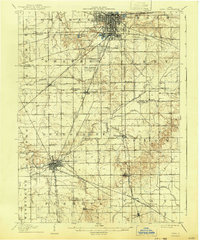
1906 Map of Lima
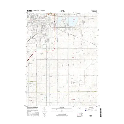
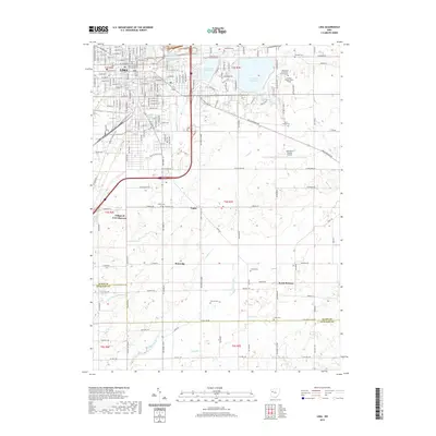
USGS Topo · Published 1943About this map
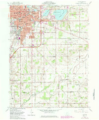
Lima and Wapakoneta stand as the primary industrial and transport hubs of West-Central Ohio during this era of heavy rail expansion. The landscape is a complex web of steam and electric transit, including the Penna System Pittsburgh Ft Wayne and Chicago RR, Erie RR, and the Western Ohio Electric Line. In the northern part of the survey, massive Oil Tanks suggest the regional importance of the Buckeye oil field, while the Infirmary located west of the Ohio Electric Ry reflects the social infrastructure of the time. Local life centers on rural crossroads like Cridersville, Uniopolis, and St Johns, connected by drainage features such as Crosley Ditch and the Ottawa River. The map meticulously details the section lines and township boundaries of Duchouquet and Shawnee, providing essential data for land use and genealogical research.
Find a feature on this map
51 named features on this map. Tap any name to fly to it.
Don’t see what you’re looking for? This feature index may not catch every label — zoom into the map to look around manually.
Map Details
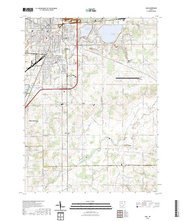
Editions of this 1906 Lima Map
2 editions found
Historical Maps of Lima Through Time
8 maps found