Loading...
Loading map...1906 Map of Lima
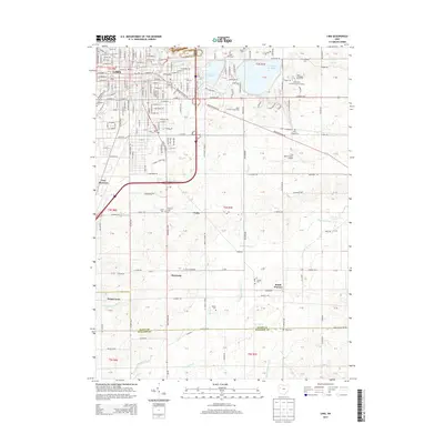
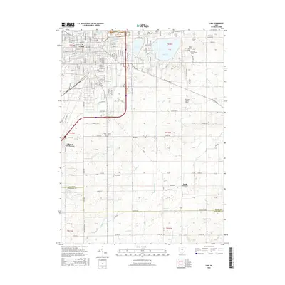
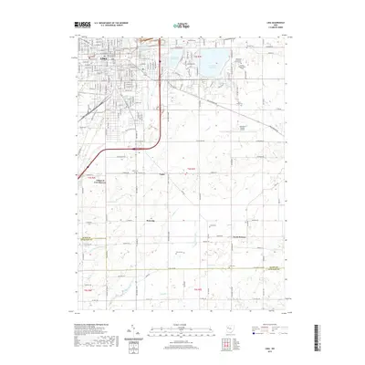
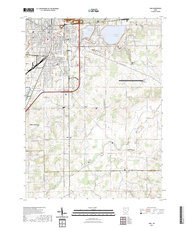
USGS Topo · Published 1943About this map
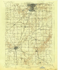
Lima and Wapakoneta anchor this industrial landscape during a period of significant growth for northwestern Ohio. The map reveals a dense network of transportation infrastructure, including the Penna System Pittsburgh, Ft Wayne and Chicago RR and the Ohio Electric Ry, which linked regional industry to larger markets. In addition to the urban grid of Lima, the surrounding townships like Shawnee and Duchouquet show smaller settlements such as Cridersville and Hume.
Find a feature on this map
55 named features on this map. Tap any name to fly to it.
Don’t see what you’re looking for? This feature index may not catch every label — zoom into the map to look around manually.
Map Details
Date Portrayed1906
Date Published1943
PublisherU.S. Geological Survey
Map TypeTopographic
Scale1:62,500
Physical Dimensions16.5 x 19.9 inches
Editions of this 1906 Lima Map
2 editions found

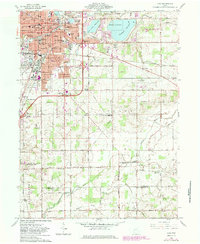
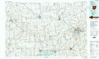
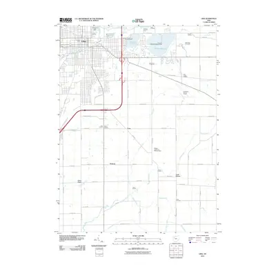
Historical Maps of Lima Through Time
8 maps found
Featured Locations
Source Details
SourceU.S. Geological Survey
CopyrightPublic Domain