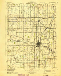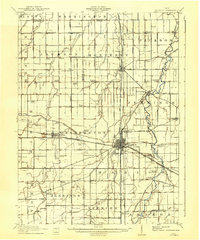
1911 Map of Delphos
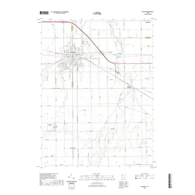
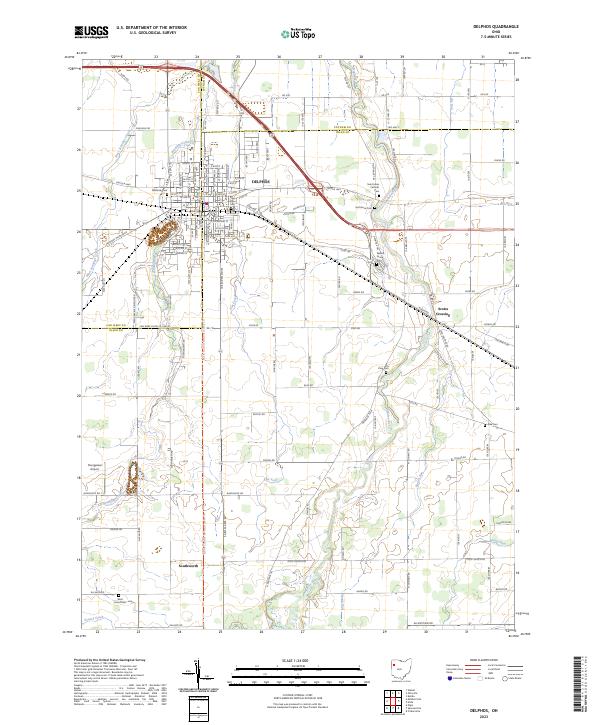
USGS Topo · Published 1942About this map
The city of Delphos serves as the focal point of this Northwest Ohio region, where the borders of Van Wert, Putnam, and Allen Counties converge. This early twentieth-century landscape is defined by its meticulous grid of section lines and turnpikes, including the Lima Turnpike and Wapakoneta Turnpike. The transportation network is remarkably dense, featuring the crossing of major lines like the Pennsylvania System and the Cincinnati Hamilton and Dayton RR, alongside the Ohio Electric Railway.
Find a feature on this map
89 named features on this map. Tap any name to fly to it.
Don’t see what you’re looking for? This feature index may not catch every label — zoom into the map to look around manually.
Map Details
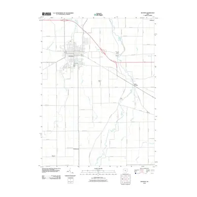
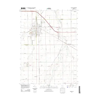
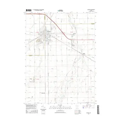
Editions of this 1911 Delphos Map
This is the sole edition of this map. No revisions or reprints were ever made.
Historical Maps of Delphos Through Time
8 maps found