Loading...
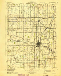
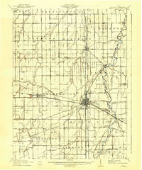
Loading map...1944 Map of Delphos
USGS Topo · Published 1944About this map
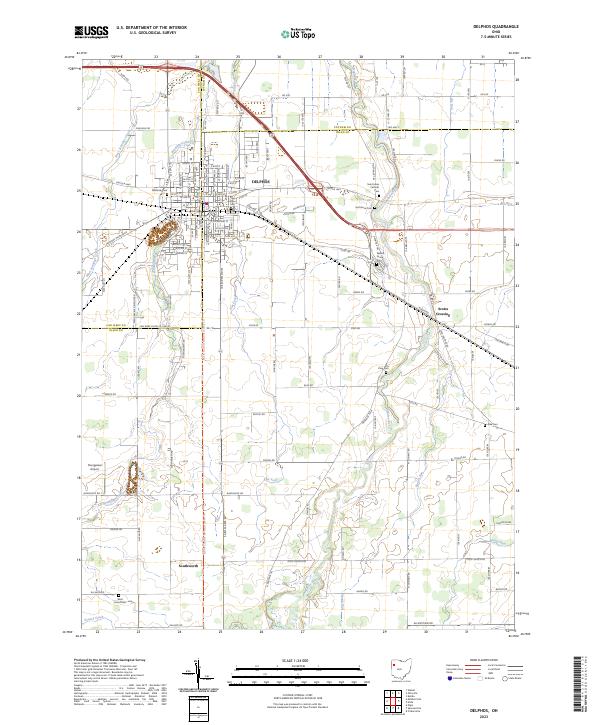
Delphos functions as a vital railroad hub at the meeting of the Pennsylvania RR and the New York Chicago and St Louis RR. This 1944 survey, based on 1909 data and 1939 aerial photography, documents the dense agricultural and social infrastructure of Allen, Van Wert, and Putnam Counties. The landscape is defined by an extensive drainage network, including the Auglaize River, Little Auglaize River, and numerous engineered channels like the Hermann Ditch and Dry Ditch.
Find a feature on this map
92 named features on this map. Tap any name to fly to it.
Don’t see what you’re looking for? This feature index may not catch every label — zoom into the map to look around manually.
Map Details
Date Portrayed1944
Date Published1944
PublisherU.S. Geological Survey
Map TypeTopographic
Scale1:62,500
Physical Dimensions16.7 x 20.7 inches
Editions of this 1944 Delphos Map
This is the sole edition of this map. No revisions or reprints were ever made.
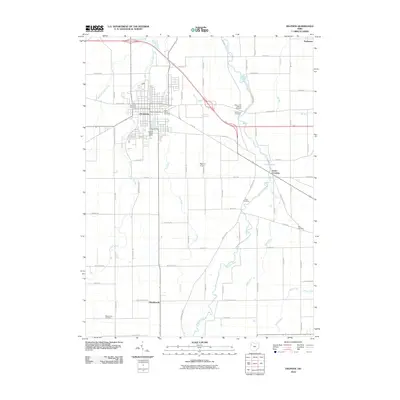
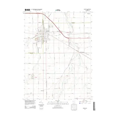
Historical Maps of Delphos Through Time
8 maps found

Featured Locations
Source Details
SourceU.S. Geological Survey
CopyrightPublic Domain