Loading...
Loading map...1914 Map of Van Wert
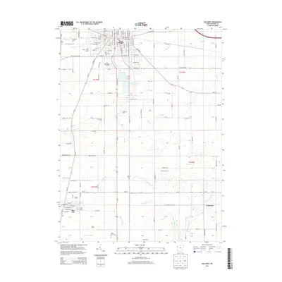
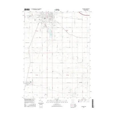
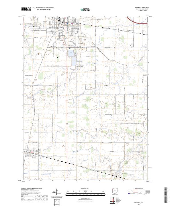
USGS Topo · Published 1942About this map
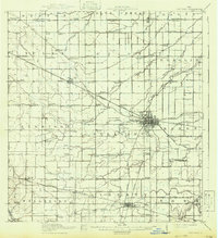
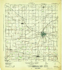
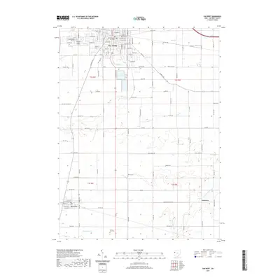
The county seat of Van Wert serves as the central hub of this 1911 survey, showing a dense grid of urban streets intersected by the Pennsylvania System and the Cincinnati Northern R R. This era in Western Ohio was defined by an extensive network of interurban lines, such as the Pennsylvania Electric Road and Ohio Electric R R, which linked small agricultural communities like Convoy and Ohio City.
Find a feature on this map
92 named features on this map. Tap any name to fly to it.
Don’t see what you’re looking for? This feature index may not catch every label — zoom into the map to look around manually.
Map Details
Date Portrayed1914
Date Published1942
PublisherU.S. Geological Survey
Map TypeTopographic
Scale1:62,500
Physical Dimensions18.1 x 19.8 inches
Editions of this 1914 Van Wert Map
This is the sole edition of this map. No revisions or reprints were ever made.
Historical Maps of Van Wert Through Time
8 maps found
Featured Locations
Source Details
SourceU.S. Geological Survey
CopyrightPublic Domain