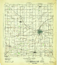
1944 Map of Van Wert
USGS Topo · Published 1944About this map
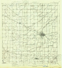
Van Wert serves as the central hub of this mid-century Western Ohio landscape, where the Pennsylvania Railroad and New York Central Railroad intersect the historic Lincoln Highway. The map reveals a dense agricultural grid established during the first half of the twentieth century, punctuated by an extraordinary density of rural institutions. Small settlements like Convoy, Wren, and Ohio City anchor the townships, while the space between them is filled with a systematic network of numbered and family-named schools such as McClure Sch and Gunsett Sch.
Find a feature on this map
87 named features on this map. Tap any name to fly to it.
Don’t see what you’re looking for? This feature index may not catch every label — zoom into the map to look around manually.
Map Details
Editions of this 1944 Van Wert Map
This is the sole edition of this map. No revisions or reprints were ever made.
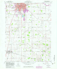
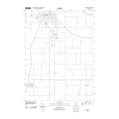
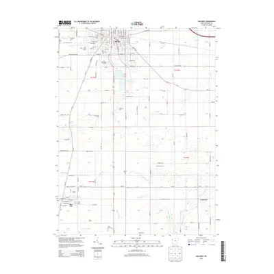
Historical Maps of Van Wert Through Time
8 maps found