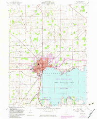
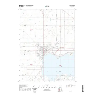
1944 Map of Celina
USGS Topo · Published 1944About this map
The Lake St Marys shoreline dominates the southeastern corner of this landscape, serving as a hub for the community of Celina. During the mid-1940s, this portion of Mercer and Van Wert counties maintained a dense network of rural infrastructure, defined by an exceptional number of district schools such as Stedke Sch, Roebuck Sch, and Victor Sch. The region's drainage and agricultural development are evident in the complex system of ditches, including Kyle Prairie Ditch and Ayre Ditch, which support the watershed of the Wabash River and St Marys River.
Find a feature on this map
101 named features on this map. Tap any name to fly to it.
Don’t see what you’re looking for? This feature index may not catch every label — zoom into the map to look around manually.
Map Details
Editions of this 1944 Celina Map
This is the sole edition of this map. No revisions or reprints were ever made.
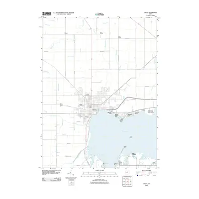
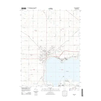
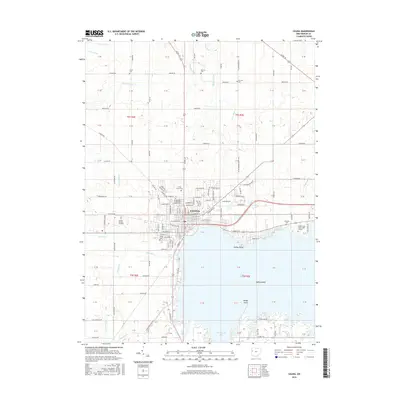
Historical Maps of Celina Through Time
8 maps found