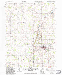
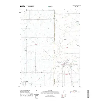
1915 Map of Fort Recovery
USGS Topo · Published 1915About this map
Fort Recovery serves as the focal point of this 1915 survey, situated at the intersection of the Lake Erie and Western railroad and several historic travel routes like Greenville Road. The map documents a dense network of rural infrastructure along the Indiana-Ohio border, characterized by a high concentration of educational sites including Lockridge Special School, Heinz School, and College Hill School. The landscape is defined by its waterways, notably the Wabash River and Mississinawa Creek, which drain the agricultural townships of Washington, Recovery, and Gibson. This advance sheet captures the region just as the early 20th-century road system was formalizing along the old Treaty Line Road, providing a clear look at the settlement patterns of Mercer and Darke counties before modern highway expansion.
Find a feature on this map
36 named features on this map. Tap any name to fly to it.
Don’t see what you’re looking for? This feature index may not catch every label — zoom into the map to look around manually.
Map Details
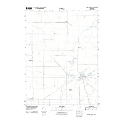
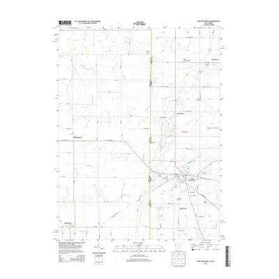
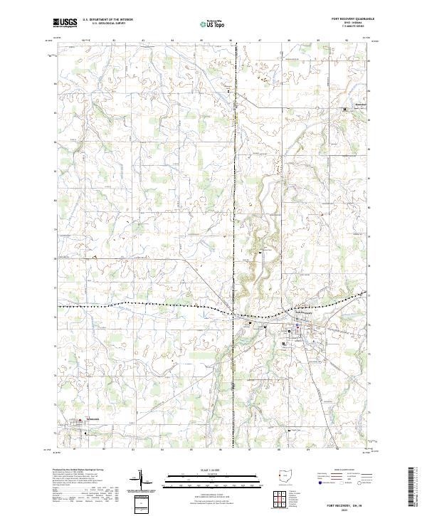
Editions of this 1915 Fort Recovery Map
2 editions found
Historical Maps of Portland Through Time
8 maps found