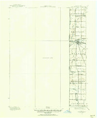
1915 Map of Fort Recovery
USGS Topo · Published 1957About this map
Fort Recovery serves as the focal point of this 1915 survey, situated at the intersection of the Lake Erie and Western railroad and significant regional roads like the Greenville Road. The landscape is defined by its agrarian order, punctuated by a dense network of country schools including the Lockridge Special School, Heinz School, and Bunker Hill School. These institutions, spaced at regular intervals, suggest the communal structure of Mercer and Darke counties during the early twentieth century.
Find a feature on this map
38 named features on this map. Tap any name to fly to it.
Don’t see what you’re looking for? This feature index may not catch every label — zoom into the map to look around manually.
Map Details
Editions of this 1915 Fort Recovery Map
2 editions found
Other maps of this area

1908 · St. Henry
USGS Topo · 1:62,500

1911 · Berne
USGS Topo · 1:48,000

1914 · Celina
USGS Topo · 1:62,500

1915 · Fort Recovery
USGS Topo · 1:48,000

1916 · Winchester
USGS Topo · 1:48,000

1918 · Winchester
USGS Topo · 1:62,500

1918 · Fort Recovery
USGS Topo · 1:62,500

1943 · Winchester
USGS Topo · 1:62,500

1944 · Celina
USGS Topo · 1:62,500

1952 · Maxville
USGS Topo · 1:24,000