Loading...
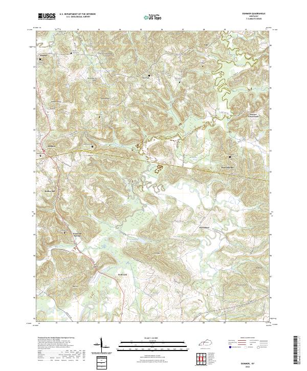
Loading map...2022 Map of Dunmor
USGS Topo · Published 2022About this map
Muhlenberg, Butler, and Logan counties converge in this landscape, where small rural settlements and family-named ridges define the countryside. The geography is anchored by the Mud River and its various tributaries like Wolf Lick Creek and Clifty Creek. Local history is preserved through numerous family and church burial grounds, including the Penrod Family Cem, De Armond Cem, and New Hebron Hunt Cem.
Find a feature on this map
88 named features on this map. Tap any name to fly to it.
Don’t see what you’re looking for? This feature index may not catch every label — zoom into the map to look around manually.
Map Details
Date Portrayed2022
Date Published2022
PublisherU.S. Geological Survey
Map TypeTopographic
Scale1:24000
Physical Dimensions24 x 29 inches
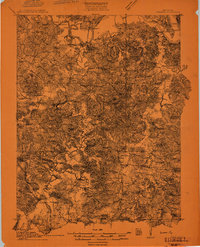
Editions of this 2022 Dunmor Map
This is the sole edition of this map. No revisions or reprints were ever made.
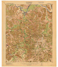
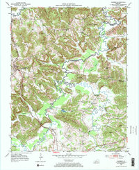
Historical Maps of Harper Crossroads Through Time
4 maps found
Featured Locations
Source Details
SourceU.S. Geological Survey
CopyrightPublic Domain