
1973 Map of Dunn
USGS Topo · Published 1975About this map
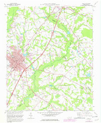
Dunn serves as a major rail hub in the mid-1970s, situated at the junction of the Seaboard Coast Line and the Dur and Sou railroads. This survey illustrates a landscape of established agricultural communities and early educational centers, including Mary Stewart Sch and Heritage College. The social fabric of the era is visible through numerous rural congregations such as Mingo Hill Ch, Black River Ch, and Banner Chapel, often situated near small settlements like Leslie and Plainview.
Find a feature on this map
75 named features on this map. Tap any name to fly to it.
Don’t see what you’re looking for? This feature index may not catch every label — zoom into the map to look around manually.
Map Details
Editions of this 1973 Dunn Map
2 editions found
Other maps of this area

1906 · Four Oaks
USGS Topo · 1:48,000

1908 · Four Oaks
USGS Topo · 1:62,500

1909 · Coharie
USGS Topo · 1:62,500

1953 · Raleigh
USGS Topo · 1:250,000

1954 · Raleigh
USGS Topo · 1:250,000

1973 · Benson
USGS Topo · 1:24,000

1973 · Erwin
USGS Topo · 1:24,000

1973 · Coats
USGS Topo · 1:24,000
1974 · Wade
USGS Topo · 1:24,000
1974 · Mingo
USGS Topo · 1:24,000