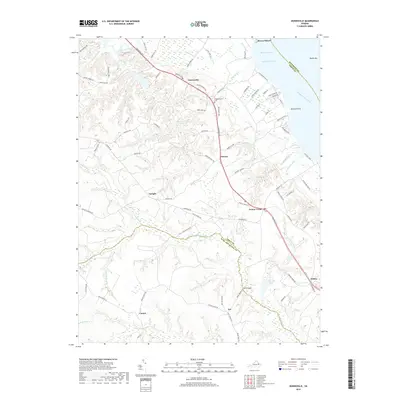
2019 Map of Dunnsville
USGS Topo · Published 2019About this map
The Rappahannock River forms the northeastern boundary of this Middle Peninsula landscape, where tidal reaches and deep inland swamps dictate the pattern of settlement. Historic landings and riverfront points like Wares Wharf and Browns Point contrast with the dense interior wetlands of Dragon Swamp and Exol Swamp to the south. Along the Tidewater Trl, which serves as the primary corridor through Essex Co, a series of small communities like Dunnsville, Ozeana, and Center Cross have long served as local hubs. For genealogists, the Rappahannock Cem provides a specific point of interest near the junction of Ephesus Church Rd. The map also reveals the headwaters of Piscataway Creek and the intricate drainage of Yorkers Swamp, illustrating the transition from the river's influence to the timbered Lowlands of King and Queen Co.
Find a feature on this map
91 named features on this map. Tap any name to fly to it.
Don’t see what you’re looking for? This feature index may not catch every label — zoom into the map to look around manually.
Map Details
Editions of this 2019 Dunnsville Map
This is the sole edition of this map. No revisions or reprints were ever made.
Other maps of this area

1917 · Urbanna
USGS Topo · 1:62,500

1917 · Morattico
USGS Topo · 1:62,500

1918 · Tappahannock
USGS Topo · 1:62,500

1918 · Morattico
USGS Topo · 1:62,500

1919 · New Kent
USGS Topo · 1:62,500

1919 · Tappahannock
USGS Topo · 1:62,500

1926 · Morattico
USGS Topo · 1:62,500

1943 · Richmond
USGS Topo · 1:250,000

1944 · Mount Landing
USGS Topo · 1:31,680

1944 · Tappahannock
USGS Topo · 1:31,680