
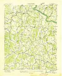
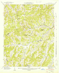
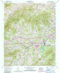
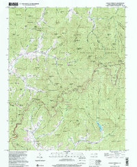
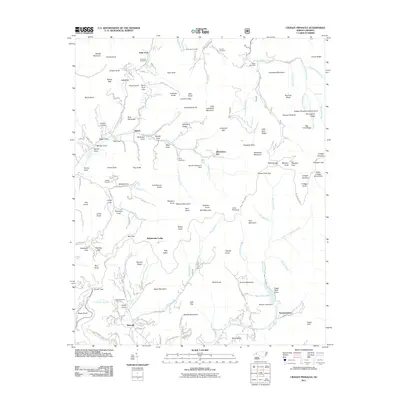
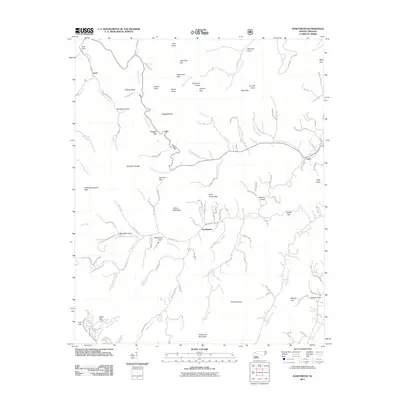
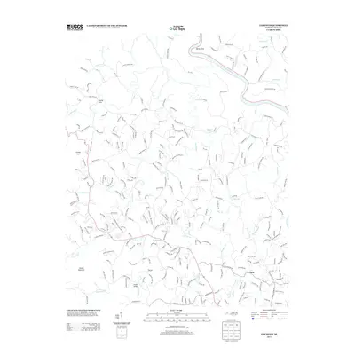
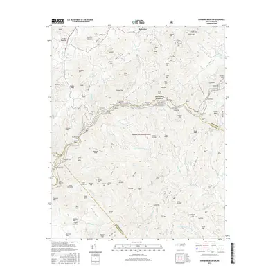
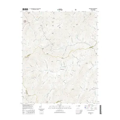
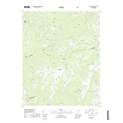
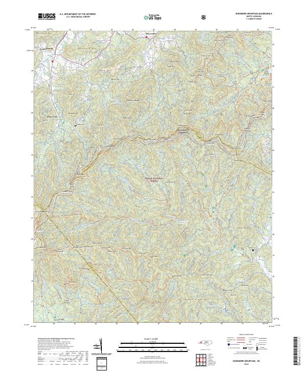
1943 Map of Dunsmore Mountain
USGS Topo · Published 1943About this map
Big Pisgah National Forest dominates the terrain of this 1943 survey, illustrating a landscape of high summits and steep drainages at the intersection of Buncombe, Henderson, and Transylvania counties. The northern portion of the map is defined by the headwaters of South Hominy Creek and Dunsmore Mountain, while the southern reaches descend into The Pink Beds. Notable human features include the Buck Spring Lodge and the Bent Creek Experimental Forest, which highlight the region's historical focus on forest management and recreation.
Find a feature on this map
134 named features on this map. Tap any name to fly to it.
Don’t see what you’re looking for? This feature index may not catch every label — zoom into the map to look around manually.
Map Details
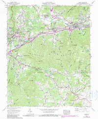
Editions of this 1943 Dunsmore Mountain Map
This is the sole edition of this map. No revisions or reprints were ever made.
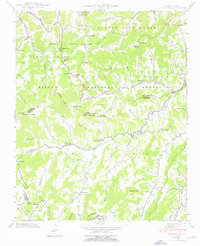
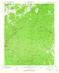
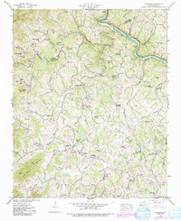
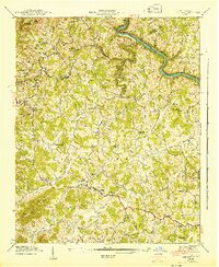
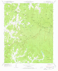
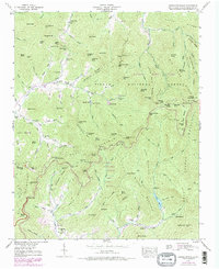
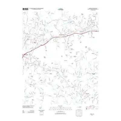
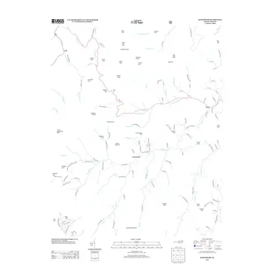
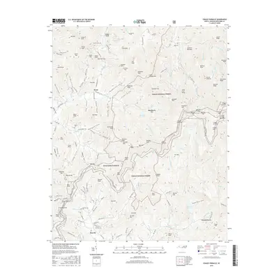
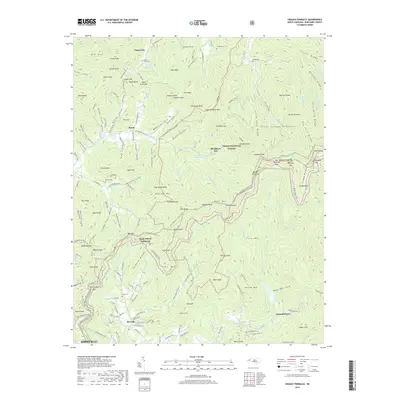
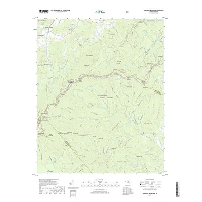
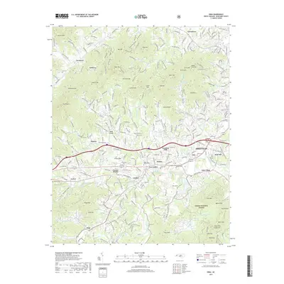
Historical Maps of Bent Creek Through Time
53 maps found

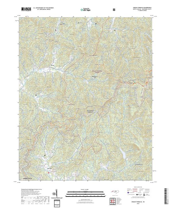
1935 Craggy Pinnacle
Buncombe County, NC

1936 Dunsmore Mountain
Buncombe County, NC

1936 Enka
Buncombe County, NC
1936 Leicester
Buncombe County, NC

1936 Sandymush
Buncombe County, NC

1941 Enka
Buncombe County, NC
1941 Sandymush
Buncombe County, NC
1942 Dunsmore Mountain
Buncombe County, NC

1942 Enka
Buncombe County, NC
1942 Leicester
Buncombe County, NC
1942 Sandymush
Buncombe County, NC
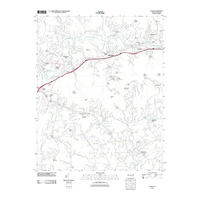
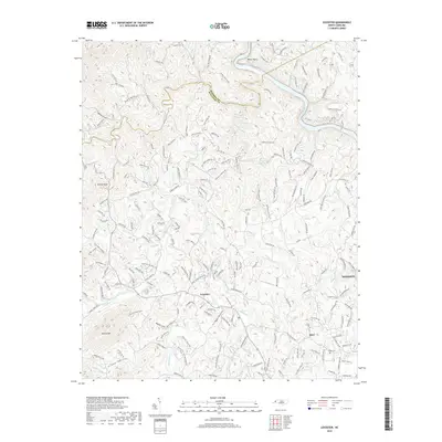
1943 Dunsmore Mountain
Buncombe County, NC
1943 Leicester
Buncombe County, NC
1946 Craggy Pinnacle
Buncombe County, NC
1947 Craggy Pinnacle
Buncombe County, NC
1961 Enka
Buncombe County, NC
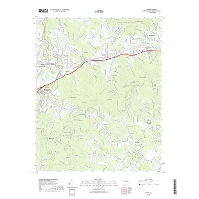
1962 Oteen
Buncombe County, NC
1967 Dunsmore Mountain
Buncombe County, NC
1976 Enka
Buncombe County, NC
1997 Craggy Pinnacle
Buncombe County, NC

1997 Dunsmore Mountain
Buncombe County, NC
1997 Oteen
Buncombe County, NC
1998 Enka
Buncombe County, NC
2010 Leicester
Buncombe County, NC
2010 Oteen
Buncombe County, NC
2011 Craggy Pinnacle
Buncombe County, NC
2011 Dunsmore Mountain
Buncombe County, NC
2011 Enka
Buncombe County, NC
2011 Sandymush
Buncombe County, NC
2013 Craggy Pinnacle
Buncombe County, NC
2013 Dunsmore Mountain
Buncombe County, NC
2013 Enka
Buncombe County, NC
2013 Leicester
Buncombe County, NC
2013 Oteen
Buncombe County, NC
2013 Sandymush
Buncombe County, NC
2016 Craggy Pinnacle
Buncombe County, NC
2016 Dunsmore Mountain
Buncombe County, NC
2016 Enka
Buncombe County, NC
2016 Leicester
Buncombe County, NC
2016 Oteen
Buncombe County, NC
2016 Sandymush
Buncombe County, NC
2019 Craggy Pinnacle
Buncombe County, NC
2019 Dunsmore Mountain
Buncombe County, NC
2019 Enka
Buncombe County, NC
2019 Leicester
Buncombe County, NC
2019 Oteen
Buncombe County, NC
2019 Sandymush
Buncombe County, NC
2022 Craggy Pinnacle
Buncombe County, NC
2022 Dunsmore Mountain
Buncombe County, NC
2022 Enka
Buncombe County, NC
2022 Leicester
Buncombe County, NC
2022 Oteen
Buncombe County, NC
2022 Sandymush
Buncombe County, NC