
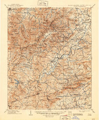
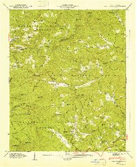
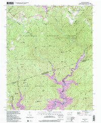
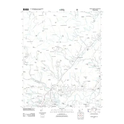
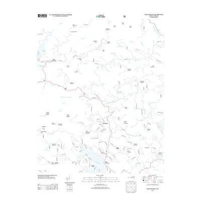
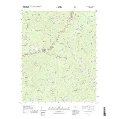
1905 Map of Pisgah
USGS Topo · Published 1956About this map
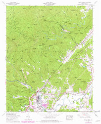
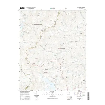
The High Peaks of the Blue Ridge dominate this landscape, anchored by the prominent Big Pisgah Mt and the seasonal retreat at Buck Spring Lodge. Centered on the headwaters of the French Broad River, the map documents a transition from the developing valley centers of Waynesville and Brevard to the expansive, timbered tracts of the Pisgah Forest. Transportation is defined by the early winding routes of the French Broad Road and the Southern RR, which connects small riverside communities like Blantyre and Etowah.
Find a feature on this map
291 named features on this map. Tap any name to fly to it.
Don’t see what you’re looking for? This feature index may not catch every label — zoom into the map to look around manually.
Map Details
Editions of this 1905 Pisgah Map
This is the sole edition of this map. No revisions or reprints were ever made.
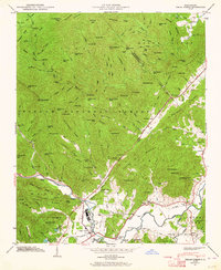
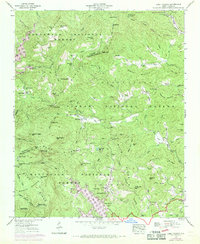
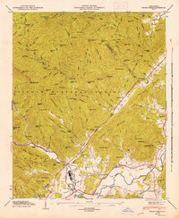
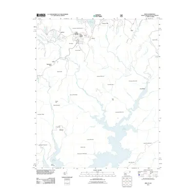
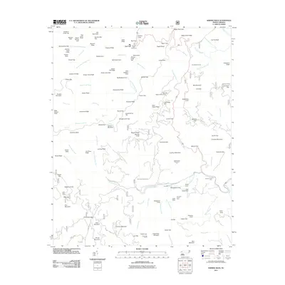
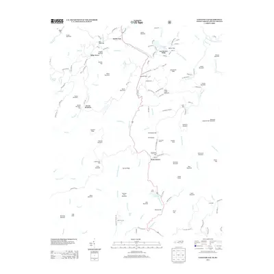
Historical Maps of Asheville Through Time
45 maps found
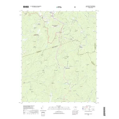
1905 Pisgah
Transylvania County, NC
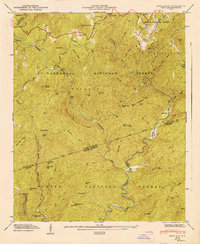
1906 Pisgah
Transylvania County, NC

1935 Eastatoe Gap
Transylvania County, NC

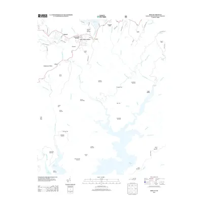
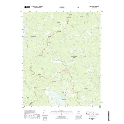
1935 Lake Toxaway
Transylvania County, NC

1935 Pisgah Forest
Transylvania County, NC

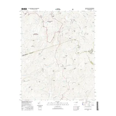
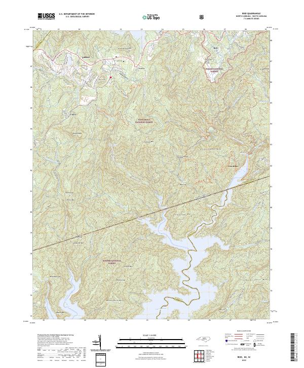
1935 Reid
Transylvania County, NC

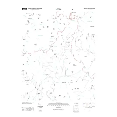
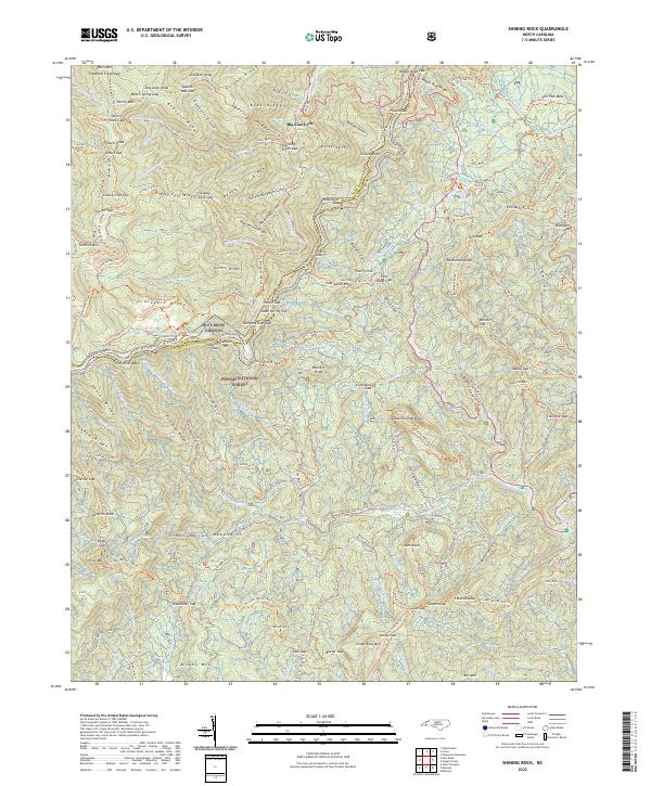
1935 Shining Rock
Transylvania County, NC
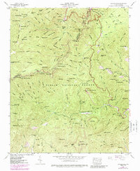
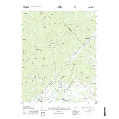
1945 Pisgah Forest
Transylvania County, NC
1946 Lake Toxaway
Transylvania County, NC
1946 Pisgah Forest
Transylvania County, NC
1946 Reid
Transylvania County, NC
1946 Shining Rock
Transylvania County, NC
1947 Lake Toxaway
Transylvania County, NC
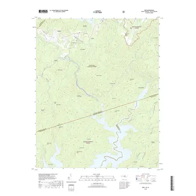
1947 Reid
Transylvania County, NC
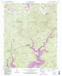
1965 Pisgah Forest
Transylvania County, NC
1997 Eastatoe Gap
Transylvania County, NC
1997 Lake Toxaway
Transylvania County, NC
1997 Pisgah Forest
Transylvania County, NC
1997 Reid
Transylvania County, NC
1997 Shining Rock
Transylvania County, NC
2011 Eastatoe Gap
Transylvania County, NC
2011 Lake Toxaway
Transylvania County, NC
2011 Pisgah Forest
Transylvania County, NC
2011 Reid
Transylvania County, NC
2011 Shining Rock
Transylvania County, NC
2013 Eastatoe Gap
Transylvania County, NC
2013 Lake Toxaway
Transylvania County, NC

2013 Pisgah Forest
Transylvania County, NC
2013 Reid
Transylvania County, NC
2013 Shining Rock
Transylvania County, NC
2016 Eastatoe Gap
Transylvania County, NC
2016 Lake Toxaway
Transylvania County, NC
2016 Pisgah Forest
Transylvania County, NC
2016 Reid
Transylvania County, NC
2016 Shining Rock
Transylvania County, NC
2019 Eastatoe Gap
Transylvania County, NC
2019 Lake Toxaway
Transylvania County, NC
2019 Pisgah Forest
Transylvania County, NC
2019 Reid
Transylvania County, NC
2019 Shining Rock
Transylvania County, NC
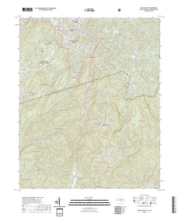
2022 Eastatoe Gap
Transylvania County, NC
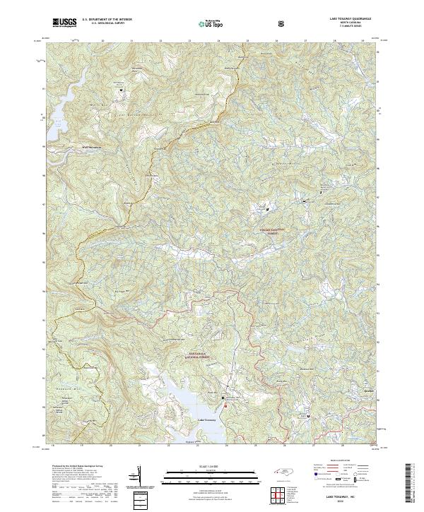
2022 Lake Toxaway
Transylvania County, NC
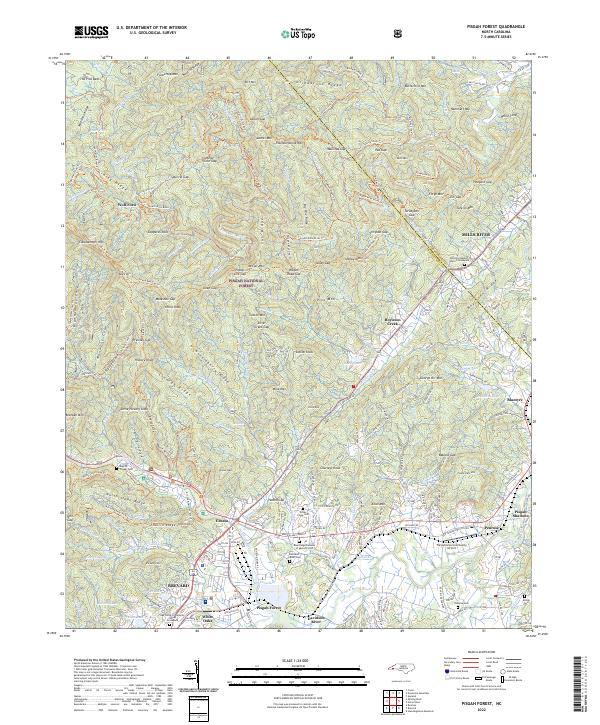
2022 Pisgah Forest
Transylvania County, NC
2022 Reid
Transylvania County, NC
2022 Shining Rock
Transylvania County, NC