Old Maps of Fletcher, North Carolina
Explore 26 old maps of Fletcher, spanning from 1905 to today. These high-resolution historic maps reveal how streets, neighborhoods, landmarks, and natural features evolved over time — perfect for genealogy, metal detecting, research, and local history exploration.
What you can do with these maps:
- See how Fletcher changed over time: Compare historical maps to modern-day views to trace roads, homesites, rail lines & more.
- View detailed metadata: Each map includes creators, publishers, year, scale, and archive source.
- Overlay maps with satellite & LiDAR: Visualize the past alongside modern tools to explore terrain & human change.
- Trusted historical sources: Maps sourced from the USGS, Library of Congress, and other archives.
- Access maps your way: View online, download high-res files, or order prints for personal or research use.
Start exploring old maps of Fletcher to uncover forgotten places, hidden landmarks, and the deep history beneath your feet.
Fletcher, NC maps
(26)- 1905 Map of Pisgah, 1956 Print
 1905 Pisgah1956 Print · USGSThe North Carolina high country around the turn of the century reveals a land of timber tracts and emerging mountain retreats. Genealogists and hikers can trace early routes to Buck Spring Lodge, follow the Southern RR tracks, and locate vanished settlements like Angeline and Calhoun.
 - 1906 Map of Pisgah, 1934 Print
 1906 Pisgah1934 Print · USGSThe Blue Ridge highlands at the turn of the century reveal a landscape of mountain river valleys and early timber frontiers. Genealogists and historians can trace family-named bridges and crossings like Graham Bridge or locate vanished settlements such as Grange and Retreat.2 unique versions available
 - 1907 Map of Saluda
 1907 Saluda1907 Print · USGSNorth Carolina's mountain frontier meets the South Carolina foothills in this 1900s survey of the Blue Ridge. Genealogists and researchers can trace the early rail network through Saluda and locate old landmarks like Rockcliff PO and Pleasant Grove Church.3 unique versions available
 - 1936 Map of Skyland
 1936 Skyland1936 Print · USGSWestern North Carolina during the mid-thirties reveals a landscape of high ridges and developing river valleys. Genealogists and historians can trace local community roots through landmarks like Arden School, CCC Camp No 5, and Brickton Ch.
 - 1936 Map of Fruitland
 1936 Fruitland1936 Print · USGSThe Blue Ridge foothills of Henderson and Buncombe Counties come alive in the mid-1930s. Genealogists can trace family roots through the Fruitland Institute, Mountain Sanitarium, and rural sites like Tweed Chapel or Patty Chapel.
 - 1942 Map of Fruitland
 1942 Fruitland1942 Print · USGSHenderson and Buncombe Counties are shown here just as the mountain landscape was being shaped by modern infrastructure in the early 1940s. Genealogists and historians can locate family landmarks such as Fruitland Cem, Christ Sch, and the Mountain Sanitarium.4 unique versions available
 - 1942 Map of Skyland, 1956 Print
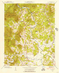 1942 Skyland1956 Print · USGSIn the early 1940s, the mountain communities of Buncombe and Henderson counties were oriented around the French Broad River and the Southern railroad. Researchers can locate family landmarks like the Britton Cem, St Johns Ch, and the old Brickton Sch.2 unique versions available
 - 1943 Map of Skyland
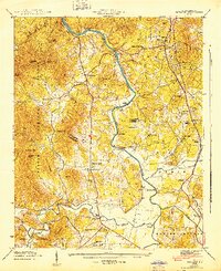 1943 Skyland1943 Print · USGSHenderson and Buncombe County communities thrive along the river valleys and rail lines in the early 1940s. Genealogists and local historians can trace family locations near Fanning Chapel, Britton Cem, and the historic school at Valley Springs Sch.
 - 1955 Map of Knoxville
 1955 Knoxville1955 Print · USGSThe Southern Appalachians and the Smoky Mountains are shown here at a peak of mid-century development and conservation. Genealogists and historians can trace the early road networks connecting Gatlinburg, Waynesville, and the Cherokee Indian Reservation across the high ridges.
 - 1957 Map of Knoxville, 1966 Print
 1957 Knoxville1966 Print · USGSThe Southern Appalachians of Tennessee and North Carolina are mapped here during the mid-twentieth century as new highways reached the high country. Genealogists and historians can trace the topography between Knoxville and Asheville, locating family landmarks near Fontana Lake or along the Blue Ridge Parkway.4 unique versions available
 - 1960 Map of Knoxville
 1960 Knoxville1960 Print · USGSThe Southern Appalachians come alive in the 1950s, showing the intersection of new national park tourism and deep-rooted mountain industry. Trace old rail lines like the Clinchfield RR and find high-altitude landmarks from Mt Le Conte to the Cherokee Indian Reservation.2 unique versions available
 - 1964 Map of Knoxville
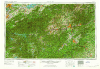 1964 Knoxville1964 Print · USGSThe Southern Appalachians and Great Smokies are captured here during the mid-sixties, showing the rugged borderlands of Tennessee and North Carolina. Researchers can trace historic mountain routes like U S 441, the expanse of Pisgah National Forest, and the growing footprints of Asheville and Knoxville.
 - 1965 Map of Skyland, 1966 Print
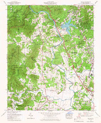 1965 Skyland1966 Print · USGSThe French Broad River valley south of Asheville is shown here in the mid-sixties as regional infrastructure began to modernize the mountain landscape. Genealogists and local historians can trace the Southern rail corridor through Skyland or locate family sites like Oak Forest Cem and Fanning Chapel.6 unique versions available
 - 1965 Map of Fruitland, 1966 Print
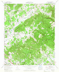 1965 Fruitland1966 Print · USGSNorth Carolina’s mountain ridges and valley settlements are caught here in the mid-sixties as the region balanced its rural roots with new development. Researchers can locate family landmarks like the Pittillo-Lanning Cemetery or trace the grounds of the Fruitland Bible Institute and Christ School.4 unique versions available
 - 1986 Map of Hendersonville
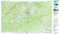 1986 Hendersonville1986 Print · USGSThe Blue Ridge foothills of North and South Carolina are documented here in the mid-eighties as modern highways began to reshape mountain travel. Local historians can trace the paths of the Southern Railway through Hendersonville or locate landmarks like Looking Glass Rock and Inman Mills.2 unique versions available
 - 1997 Map of Fruitland, 2001 Print
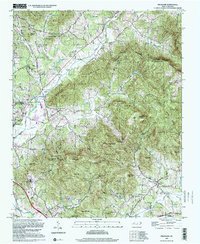 1997 Fruitland2001 Print · USGSThe mountain valleys of Henderson and Buncombe counties come into focus in this late-twentieth-century survey. Genealogists and local historians can trace family landmarks like Pittillo-Lanning Cem and the Fruitland Bible Institute.
 - 2010 Map of Fruitland, 2010 Print
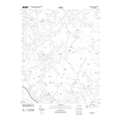 2010 Fruitland2010 Print · USGSHenderson County's mountain gaps and settlements are captured here in the early twenty-first century. Genealogists and local historians can locate family burial grounds like Patty Chapel Cemetery and landmarks such as Camp Judaea or Goodluck.
 - 2011 Map of Skyland, 2011 Print
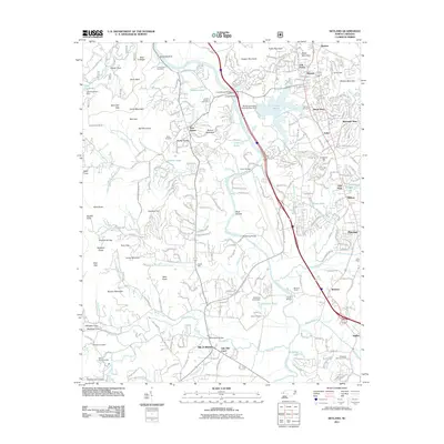 2011 Skyland2011 Print · USGSThe French Broad River valley south of Asheville is shown here in the early twenty-first century as it balances mountain wilderness with expanding suburban life. Trace family history and local landmarks through sites like Hayes Mill, Biltmore Farms, and the Sitton-Gillespie Cemetery.
 - 2013 Map of Skyland, 2013 Print
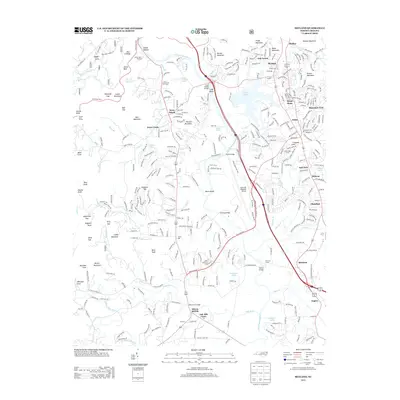 2013 Skyland2013 Print · USGSThe French Broad River valley south of Asheville is captured here during a period of modern growth and traditional industry. Genealogists and local historians can trace the developments around Arden, Fletcher, and Biltmore Farms, or locate landmarks like Hayes Mill and the Christ School.
 - 2013 Map of Fruitland, 2013 Print
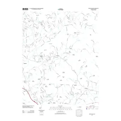 2013 Fruitland2013 Print · USGSThe foothills of the Blue Ridge near Fletcher and Edneyville are shown in detail during the early 2010s. Local historians can trace family-named landmarks and mountain gaps, from Goodluck and Fruitland to prominent features like Rattlesnake Knob and Face Rock.
 - 2016 Map of Skyland, 2016 Print
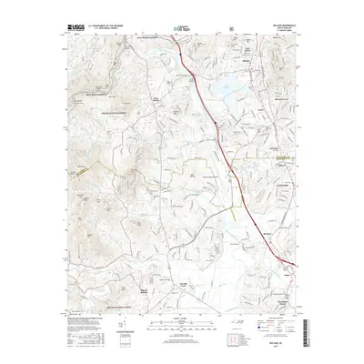 2016 Skyland2016 Print · USGSWestern North Carolina’s mountain ridges and river valleys are captured here just south of Asheville during a period of modern growth. Genealogists and historians can trace family roots through several local burial grounds like Long Shoals Cem and Baker Cem, or follow the path of the French Broad River past Mills River.
 - 2016 Map of Fruitland, 2016 Print
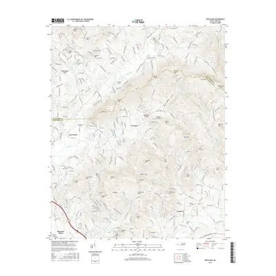 2016 Fruitland2016 Print · USGSThe mountain gaps and creek valleys of the Buncombe and Henderson county line are captured here in the mid-2010s. Genealogists and local historians can trace family sites at Patty's Chapel Cem or explore the terrain around Fruitland and Merrill Cove.
 - 2019 Map of Fruitland, 2019 Print
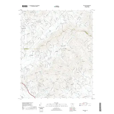 2019 Fruitland2019 Print · USGSThe high ridges of Henderson County are captured here in the late 2010s, centered on the community of Fruitland. Genealogists and local historians can locate several family burial sites including Pittillo Lanning Cem and Patty's Chapel Cem among the summits of Bearwallow Mtn and Garren Mtn.
 - 2019 Map of Skyland, 2019 Print
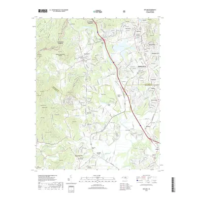 2019 Skyland2019 Print · USGSThe French Broad River valley and the southern reaches of Asheville are captured here just before the end of the twenty-tens. Researchers can trace family history through sites like Graham Cem or explore the development around Arden and Lake Julian.
 - 2022 Map of Fruitland, 2022 Print
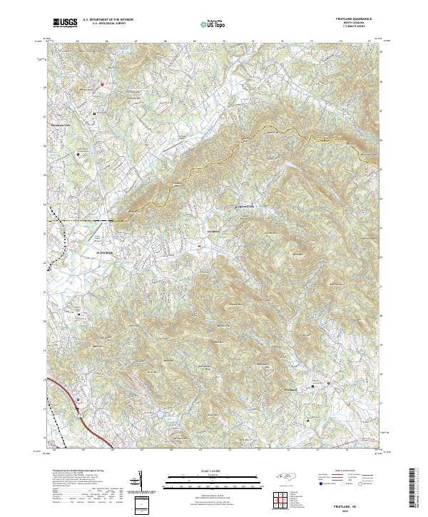 2022 Fruitland2022 Print · USGSThe high ridges and deep valleys of Henderson County are captured here in the early twenty-first century. Researchers can trace family history through sites like Fruitland Cem, Patty's Chapel, and the heights of Bearwallow Mtn.
Showing maps 1-25 of 26
Top cities near Fletcher
- Asheville historical maps
- Hendersonville historical maps
- Black Mountain historical maps
- Brevard historical maps
- Mills River historical maps
- Swannanoa historical maps
See more
Top neighborhoods of Fletcher
Frequently asked questions
- What are the different types of historical maps available for Fletcher?
- What is the oldest map of Fletcher?
- Where can I purchase historical maps of Fletcher for my home or office?
- Where can I download high-res historical maps of Fletcher?
- Are there historical topographic maps available for Fletcher?
- Is there historical aerial imagery available for Fletcher?
- Where are historical maps of Fletcher sourced from?