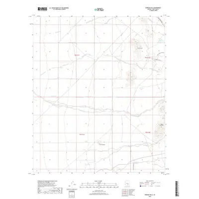
2018 Map of Durham Hills
USGS Topo · Published 2018About this map
Durham Hills and the Suizo Mountains dominate this arid landscape in Pinal County, where seasonal drainage patterns define the topography. The map illustrates a network of desert washes, including the expansive Coronado Wash and Suizo Wash, which channel runoff through the lowlands. A solitary peak known as The Huerfano stands as a prominent landmark south of the main hills.
Find a feature on this map
20 named features on this map. Tap any name to fly to it.
Don’t see what you’re looking for? This feature index may not catch every label — zoom into the map to look around manually.
Map Details
Editions of this 2018 Durham Hills Map
This is the sole edition of this map. No revisions or reprints were ever made.
Other maps of this area

1922 · Red Rock No 2
USGS Topo · 1:48,000

1934 · Newman Peak
USGS Topo · 1:125,000

1947 · Red Rock
USGS Topo · 1:62,500

1956 · Tucson
USGS Topo · 1:250,000

1958 · Tucson
USGS Topo · 1:250,000

1959 · Tucson
USGS Topo · 1:250,000

1959 · Tortolita Mts
USGS Topo · 1:62,500

1962 · Tucson
USGS Topo · 1:250,000
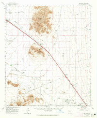
1963 · Red Rock
USGS Topo · 1:62,500

1964 · Tucson
USGS Topo · 1:250,000