
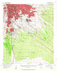
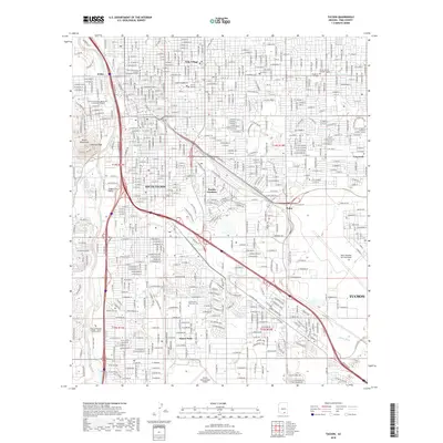
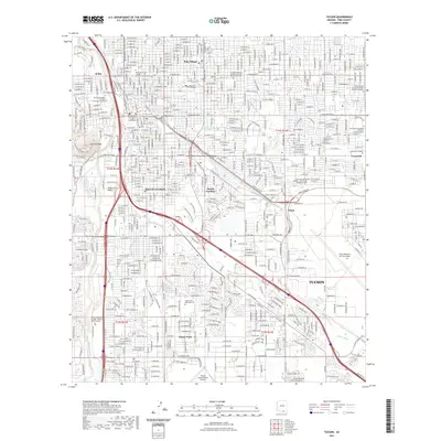
1962 Map of Tucson
USGS Topo · Published 1962About this map
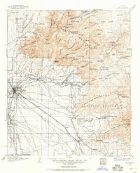
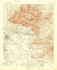
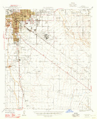
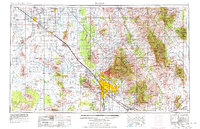
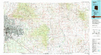
The city of Tucson serves as the central hub of this 1962 landscape, showing a period of significant military and industrial footprint in southern Arizona. The Davis-Monthan Air Force Base and the Sahuarita Bombing Range occupy large swaths of the desert floor, while the Southern Pacific RR connects major centers like Casa Grande and Eloy. The map documents numerous tribal settlements within the Papago Indian Reservation, such as Kohatk and Schuchk, alongside preservation areas like Saguaro National Monument and Casa Grande National Monument. Mining remains a primary driver of development, evidenced by the Silver Bell Mine and San Manuel Mine nestled in the surrounding ranges. The diverse topography ranges from the Santa Catalina Mountains to the expansive Aguirre Valley, illustrating the complex relationship between arid basins and the high timber of the Coronado National Forest.
Find a feature on this map
165 named features on this map. Tap any name to fly to it.
Don’t see what you’re looking for? This feature index may not catch every label — zoom into the map to look around manually.
Map Details
Editions of this 1962 Tucson Map
This is the sole edition of this map. No revisions or reprints were ever made.
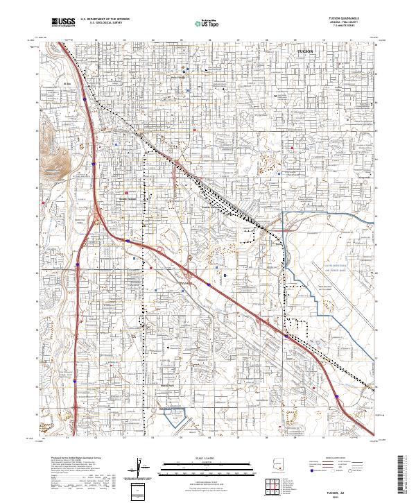
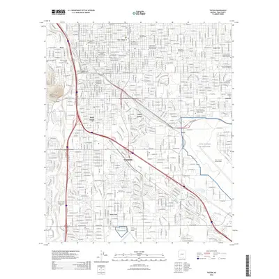
Historical Maps of Tucson Through Time
20 maps found
1904 Tucson
Pima County, AZ
1905 Tucson
Pima County, AZ
1948 Tucson
Pima County, AZ
1956 Tucson
Pima County, AZ
1957 Tucson
Pima County, AZ
1957 Tucson
Pima County, AZ

1958 Tucson
Pima County, AZ

1959 Tucson
Pima County, AZ
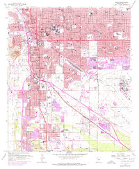
1962 Tucson
Pima County, AZ

1964 Tucson
Pima County, AZ
1983 Tucson
Pima County, AZ
1992 Tucson
Pima County, AZ
1994 Tucson
Pima County, AZ
1996 Tucson
Pima County, AZ
2011 Tucson
Pima County, AZ
2014 Tucson
Pima County, AZ
2018 Tucson
Pima County, AZ
2021 Tucson
Pima County, AZ
2023 Tucson
Pima County, AZ
2026 Tucson
Pima County, AZ