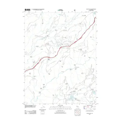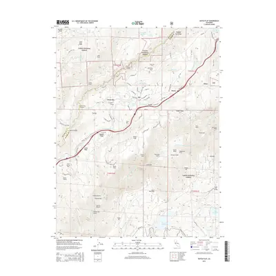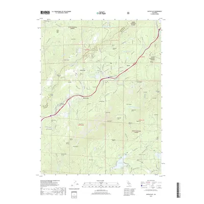
2022 Map of Dutch Flat
USGS Topo · Published 2022About this map
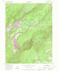
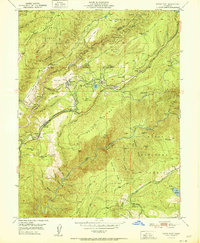
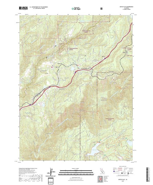
Dutch Flat and Gold Run anchor this survey of the western Sierra Nevada foothills, a landscape defined by its deep canyons and the complex water infrastructure of the Upper Boardman Canal. The area preserves a distinct Gold Rush-era settlement pattern, where small communities like Alta and Baxter are linked by the winding passage of Interstate 80 and the historic rail corridor. Along the southern edge of the map, the North Fork American Wild and Scenic River carves a dramatic path through the terrain, flanked by significant landmarks such as Lovers Leap and the precipitous Giant Gap. Local history is grounded at the Dutch Flat Cemetery, while the surrounding Tahoe National Forest contains a network of ridges including Chalk Bluff Ridge and Moody Ridge, which illustrate the region's transitioning topography from river bars to high forest divides.
Find a feature on this map
107 named features on this map. Tap any name to fly to it.
Don’t see what you’re looking for? This feature index may not catch every label — zoom into the map to look around manually.
Map Details
Editions of this 2022 Dutch Flat Map
This is the sole edition of this map. No revisions or reprints were ever made.
Historical Maps of Casa Loma Through Time
7 maps found