
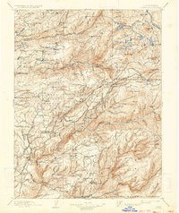
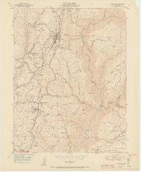
1898 Map of Colfax
USGS Topo · Published 1898About this map
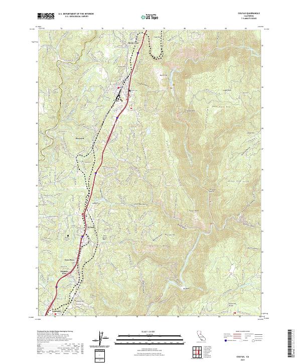
The Middle Fork Yuba River and South Fork Yuba River carve through this Sierra Nevada landscape during a period of intense industrial activity. This survey captures the height of hydraulic mining operations, most notably the Malakoff Mine near North Bloomfield. The map documents the intricate network of flumes and ditches required to power these massive operations, alongside established gold-country settlements like Alleghany and North Columbia.
Find a feature on this map
213 named features on this map. Tap any name to fly to it.
Don’t see what you’re looking for? This feature index may not catch every label — zoom into the map to look around manually.
Map Details
Editions of this 1898 Colfax Map
This is the sole edition of this map. No revisions or reprints were ever made.
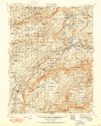
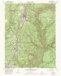
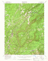
Historical Maps of Colfax Through Time
14 maps found

1891 Colfax
Placer County, CA

1892 Colfax
Placer County, CA

1894 Colfax
Placer County, CA
1898 Colfax
Placer County, CA

1900 Colfax
Placer County, CA
1902 Colfax
Placer County, CA
1938 Colfax
Placer County, CA
1949 Colfax
Placer County, CA
1950 Colfax
Placer County, CA
1951 Colfax
Placer County, CA
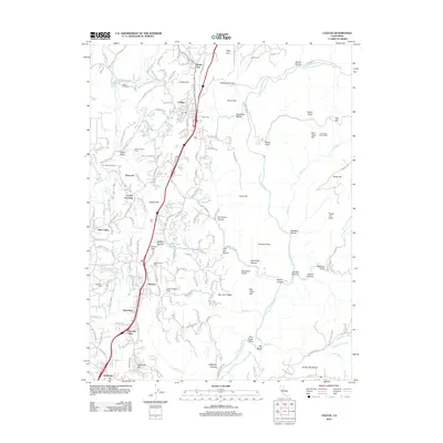
2012 Colfax
Placer County, CA
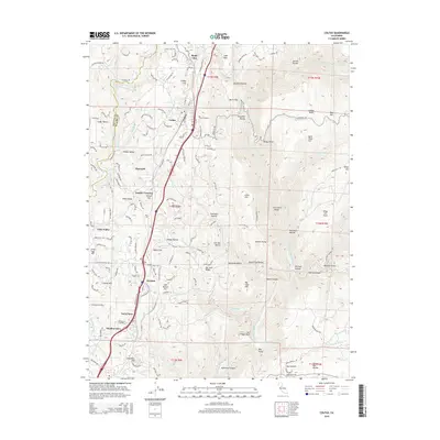
2015 Colfax
Placer County, CA
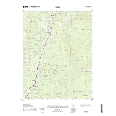
2018 Colfax
Placer County, CA
2021 Colfax
Placer County, CA