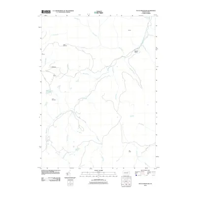
2010 Map of Dutch Mountain
USGS Topo · Published 2010About this map
Bellasylva and Kasson Brook anchor this corner of Wyoming County, where the high plateaus of the Endless Mountains meet a dense network of headwater streams. The landscape is defined by its topographic prominence, featuring the broad mass of Dutch Mountain and the distinct peak of The Stack. For family historians, the presence of Junk Cemetery and Fincke Cemetery near the western edge of the quadrangle offers specific points of interest for tracing early settlement patterns in this isolated upland area.
Find a feature on this map
30 named features on this map. Tap any name to fly to it.
Don’t see what you’re looking for? This feature index may not catch every label — zoom into the map to look around manually.
Map Details
Editions of this 2010 Dutch Mountain Map
This is the sole edition of this map. No revisions or reprints were ever made.
Other maps of this area

1891 · Harveys Lake
USGS Topo · 1:62,500

1893 · Harvey Lake
USGS Topo · 1:62,500

1934 · Laporte
USGS Topo · 1:62,500

1943 · Monroeton
USGS Topo · 1:62,500

1945 · Meshoppen
USGS Topo · 1:62,500

1945 · Jenningsville
USGS Topo · 1:24,000

1945 · Meshoppen
USGS Topo · 1:24,000

1946 · Dutch Mtn
USGS Topo · 1:24,000

1946 · Harveys Lake
USGS Topo · 1:24,000

1946 · Noxen
USGS Topo · 1:24,000
Featured Places
- Noxen Township, PA
- Colley Township, PA
- Forkston Township, PA
- North Branch Township, PA
- Bellasylva, Forkston Township