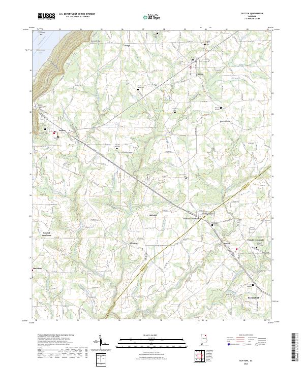
2024 Map of Dutton
USGS Topo · Published 2024About this map
Sand Mountain defines the eastern landscape of this survey, where the border between Jackson and Dekalb counties follows the rugged terrain. Along the western edge, the Tennessee River flows into Guntersville Lake, marked by landmarks such as Chisenhall Bar and the steep descent of Goodman Hollow. The interior is characterized by a network of crossroads and small communities, including Dutton, Powell, and Duncan Crossroads, which serve as focal points for the surrounding agricultural lands. Notable for local family historians, the area is dotted with numerous burial grounds such as Chaney Chapel Cem, Shady Grove Cem, and the Old Straight Creek Cem. Educational and civic life centers on the Northeast Alabama Community College, while the various gaps like Section Gap and Gossett Gap indicate the historic passage routes through the upland ridges.
Find a feature on this map
73 named features on this map. Tap any name to fly to it.
Don’t see what you’re looking for? This feature index may not catch every label — zoom into the map to look around manually.
Map Details
Editions of this 2024 Dutton Map
This is the sole edition of this map. No revisions or reprints were ever made.
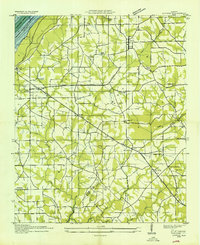
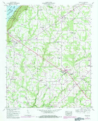
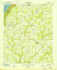
Historical Maps of Duncan Crossroads Through Time
4 maps found