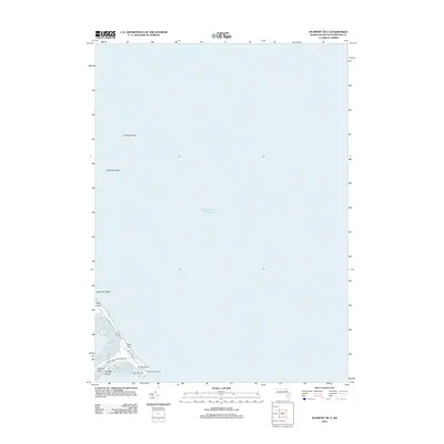
2012 Map of Duxbury OE E
USGS Topo · Published 2012About this map
Plymouth Lighthouse stands at the tip of Gurnet Point, marking the narrow entrance to the coastal waters of Plymouth Bay and Duxbury Bay. This maritime landscape is defined by the thin barrier of Saquish Neck, which protects the harbor from the open Atlantic Ocean. The settlement at Saquish Beach and the isolated community of High Pines are connected by a single transit corridor via Gurnet Rd, showing the tenuous relationship between residential life and the shifting sands of the Massachusetts coast.
Find a feature on this map
17 named features on this map. Tap any name to fly to it.
Don’t see what you’re looking for? This feature index may not catch every label — zoom into the map to look around manually.
Map Details
Editions of this 2012 Duxbury OE E Map
This is the sole edition of this map. No revisions or reprints were ever made.
Other maps of this area

1885 · Duxbury
USGS Topo · 1:62,500

1886 · Plymouth
USGS Topo · 1:62,500

1888 · Duxbury
USGS Topo · 1:62,500

1889 · Plymouth
USGS Topo · 1:62,500

1893 · Duxbury
USGS Topo · 1:62,500

1894 · Plymouth
USGS Topo · 1:62,500

1918 · Duxbury
USGS Topo · 1:62,500
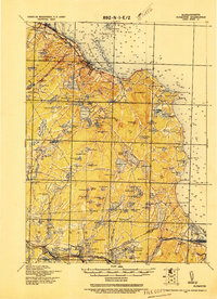
1921 · Plymouth
USGS Topo · 1:62,500
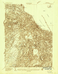
1934 · Plymouth
USGS Topo · 1:24,000
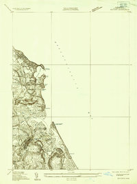
1935 · Scituate
USGS Topo · 1:24,000