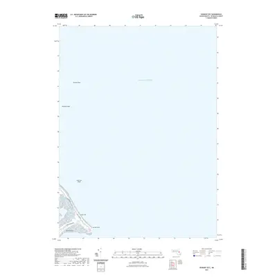
2021 Map of Duxbury OE E
USGS Topo · Published 2021About this map
Saquish Beach and the narrow spit of land leading to Gurnet Point dominate the terrestrial portion of this coastal survey. This area of Plymouth County, situated at the edge of the Atlantic Ocean, is defined by its low-lying marshes and maritime hazards. The map illustrates the fragile topography of the Saquish Neck Marshes and the elevation of the Plum Hills, which rise above the shifting sands. Beyond the shoreline, the survey identifies several significant underwater features that have long challenged coastal navigation, including High Pine Ledge, Howland Ledge, and Farnham Rock. The small road network, featuring Saquish Beach Blvd, King Arthur Rd, and Gurnet Rd, provides insight into the accessibility and residential layout of this exposed coastal community during the early twenty-first century.
Find a feature on this map
11 named features on this map. Tap any name to fly to it.
Don’t see what you’re looking for? This feature index may not catch every label — zoom into the map to look around manually.
Map Details
Editions of this 2021 Duxbury OE E Map
This is the sole edition of this map. No revisions or reprints were ever made.
Other maps of this area

1885 · Duxbury
USGS Topo · 1:62,500

1886 · Plymouth
USGS Topo · 1:62,500

1888 · Duxbury
USGS Topo · 1:62,500

1889 · Plymouth
USGS Topo · 1:62,500

1893 · Duxbury
USGS Topo · 1:62,500

1894 · Plymouth
USGS Topo · 1:62,500

1918 · Duxbury
USGS Topo · 1:62,500
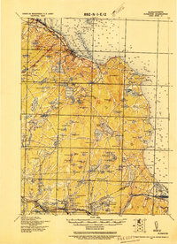
1921 · Plymouth
USGS Topo · 1:62,500
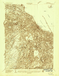
1934 · Plymouth
USGS Topo · 1:24,000
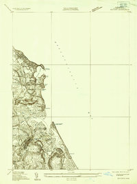
1935 · Scituate
USGS Topo · 1:24,000