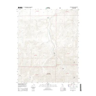
2015 Map of Eagle Rest Peak
USGS Topo · Published 2015About this map
The San Emigdio Mountains dominate this high-elevation landscape in Kern County, where the northern boundaries of the Los Padres National Forest meet the southern Central Valley fringe. The area is defined by sharp topographic relief and a network of seasonal drainages, including San Emigdio Cr and Los Lobos Cr. Named landmarks such as Eagle Rest Peak and Brush Mtn rise above deep-cut ravines like Cloudburst Canyon and Doc Williams Canyon. A notable geological and topographic feature known as Devils Kitchen sits along the primary canyon floor, illustrating the complex erosion patterns characteristic of this part of the Transverse Ranges. While largely devoid of modern settlements, the map provides an intricate look at the watershed and summit network before the arid hills descend toward the San Joaquin Valley floor.
Find a feature on this map
20 named features on this map. Tap any name to fly to it.
Don’t see what you’re looking for? This feature index may not catch every label — zoom into the map to look around manually.
Map Details
Editions of this 2015 Eagle Rest Peak Map
This is the sole edition of this map. No revisions or reprints were ever made.
Other maps of this area

1903 · Mt. Pinos
USGS Topo · 1:125,000

1910 · Buena Vista Lake
USGS Topo · 1:125,000

1912 · Buena Vista Lake
USGS Topo · 1:125,000

1931 · Pentland Junction
USGS Topo · 1:31,680

1931 · Hayes Ranch
USGS Topo · 1:31,680

1933 · Hayes Ranch
USGS Topo · 1:31,680
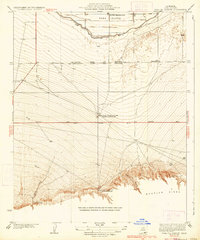
1934 · Coal Oil Canyon
USGS Topo · 1:31,680

1934 · Pentland
USGS Topo · 1:31,680

1942 · Eagle Rest Peak
USGS Topo · 1:24,000

1943 · Apache Canyon
USGS Topo · 1:24,000