
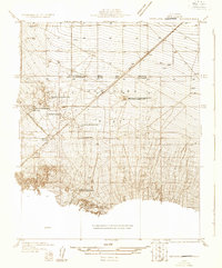
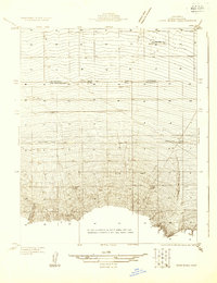
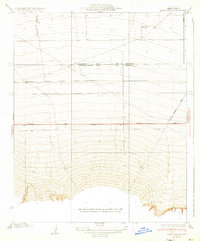
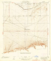
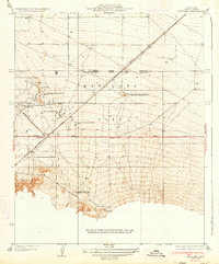
1942 Map of Eagle Rest Peak
USGS Topo · Published 1956About this map
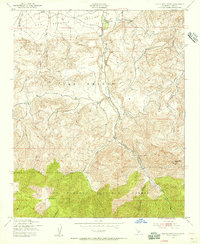
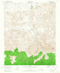
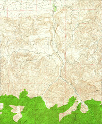
San Emigdio Ranch sits at the northern base of the San Emigdio mountains, marking the transition from the flat southern reaches of the San Joaquin Valley into the steep, rising terrain of the Los Padres National Forest. Mapped during the early 1940s, this area is defined by its dramatic elevation changes, where drainage systems like Devils Kitchen Creek and Williams Canyon carve deep paths through the land. The presence of the ranch suggests a long-standing agricultural and ranching history in this corner of Kern County, positioned strategically where the valley floor meets the high peaks. Prominent landmarks such as Eagle Rest Peak and Brush Mountain dominate the southern portion of the map, while Blue Ridge and Plettito further characterize the complex, high-altitude landscape. Remote water sources like Cloudburst Creek underscore the seasonal and topographical challenges inherent to this part of the California interior.
Find a feature on this map
13 named features on this map. Tap any name to fly to it.
Don’t see what you’re looking for? This feature index may not catch every label — zoom into the map to look around manually.
Map Details
Editions of this 1942 Eagle Rest Peak Map
5 editions found
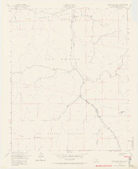
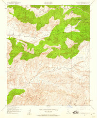
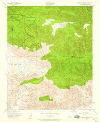
Other maps of this area

1903 · Mt. Pinos
USGS Topo · 1:125,000

1910 · Buena Vista Lake
USGS Topo · 1:125,000

1912 · Buena Vista Lake
USGS Topo · 1:125,000
1931 · Pentland Junction
USGS Topo · 1:31,680
1931 · Hayes Ranch
USGS Topo · 1:31,680
1933 · Hayes Ranch
USGS Topo · 1:31,680
1934 · Coal Oil Canyon
USGS Topo · 1:31,680
1934 · Pentland
USGS Topo · 1:31,680
1943 · Apache Canyon
USGS Topo · 1:24,000
1943 · Sawmill Mountain
USGS Topo · 1:24,000