
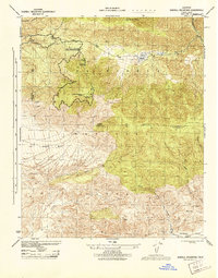
1943 Map of Sawmill Mountain
USGS Topo · Published 1959About this map
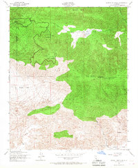
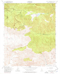
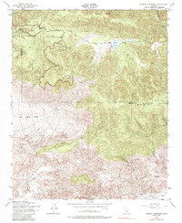
Los Padres National Forest anchors this high-elevation survey at the border of Ventura and Kern counties, centered on the towering heights of Sawmill Mountain. The landscape reflects a mid-century era of mountain recreation and forest management, illustrated by the Ski Run and Ski Tow near Cerro Noroeste. Remote outposts like Camp Condor and the Road Maintenance Sta provide evidence of human presence within the forest interior. To the south, the terrain descends into the open expanse of Lockwood Valley, where names like Lilly Meadows suggest seasonal grazing or agricultural use. The presence of a Lookout Tower on Mt Pinos highlights the importance of fire surveillance in this mountainous timberland. The drainage patterns of Santiago Creek and Apache Canyon carve deep through the San Emigdio Mesa, defining the geography of this rugged portion of the Transverse Ranges.
Find a feature on this map
25 named features on this map. Tap any name to fly to it.
Don’t see what you’re looking for? This feature index may not catch every label — zoom into the map to look around manually.
Map Details
Editions of this 1943 Sawmill Mountain Map
4 editions found
Other maps of this area

1903 · Mt. Pinos
USGS Topo · 1:125,000

1942 · Eagle Rest Peak
USGS Topo · 1:24,000

1943 · Apache Canyon
USGS Topo · 1:24,000

1943 · San Guillermo
USGS Topo · 1:24,000

1943 · Santiago Creek
USGS Topo · 1:24,000

1943 · Cuddy Valley
USGS Topo · 1:24,000

1943 · Lockwood Valley
USGS Topo · 1:24,000

1943 · Reyes Peak
USGS Topo · 1:24,000
1944 · San Guillermo
USGS Topo · 1:31,680
1944 · Sawmill Mountain
USGS Topo · 1:31,680