
1943 Map of San Guillermo
USGS Topo · Published 1959About this map
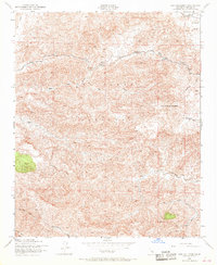
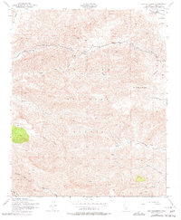
San Guillermo Mountain and the surrounding high-elevation terrain of the Los Padres National Forest dominate this mid-century survey. The landscape is defined by the headwaters of major drainages, including the eastward-flowing Piru Creek and Alamo Creek, which carve deep canyons through the forest. Human activity is concentrated in the northeast corner within Lockwood Valley, where the Plush Ranch and Three Falls Boy Scout Camp represent the primary permanent improvements. This area serves as a transitional zone between the open valley floor and the ascent toward Pine Mtn. The archival record reveals a primitive transportation network, primarily consisting of the long east-west Wagon Road and its namesake Wagon Road Canyon, indicating the historical reliance on these traditional mountain passes for traversing the rugged interior of the forest before modern highway expansion.
Find a feature on this map
22 named features on this map. Tap any name to fly to it.
Don’t see what you’re looking for? This feature index may not catch every label — zoom into the map to look around manually.
Map Details
Editions of this 1943 San Guillermo Map
3 editions found
Other maps of this area

1903 · Mt. Pinos
USGS Topo · 1:125,000

1942 · Wheeler Springs
USGS Topo · 1:24,000

1943 · Topatopa Mountains
USGS Topo · 1:24,000

1943 · Apache Canyon
USGS Topo · 1:24,000

1943 · Sawmill Mountain
USGS Topo · 1:24,000

1943 · Cuddy Valley
USGS Topo · 1:24,000

1943 · Lockwood Valley
USGS Topo · 1:24,000

1943 · Lion Canyon
USGS Topo · 1:24,000

1943 · Reyes Peak
USGS Topo · 1:24,000

1943 · Wheeler Springs
USGS Topo · 1:24,000