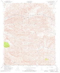
1943 Map of San Guillermo
USGS Topo · Published 1978About this map
Los Padres National Forest dominates this mid-century landscape, characterized by the winding drainages of the Transverse Ranges. Grounded in a 1943 survey, the map details the rugged upland terrain surrounding San Guillermo Mountain and the high elevations of Pine Mtn. The hydrology of the region is well-documented, tracing the various forks and tributaries of Piru Creek, including Cedar Creek and South Fork Piru Creek.
Find a feature on this map
17 named features on this map. Tap any name to fly to it.
Don’t see what you’re looking for? This feature index may not catch every label — zoom into the map to look around manually.
Map Details
Editions of this 1943 San Guillermo Map
3 editions found
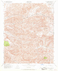
Other maps of this area

1903 · Mt. Pinos
USGS Topo · 1:125,000

1942 · Wheeler Springs
USGS Topo · 1:24,000

1943 · Topatopa Mountains
USGS Topo · 1:24,000

1943 · Apache Canyon
USGS Topo · 1:24,000

1943 · San Guillermo
USGS Topo · 1:24,000

1943 · Sawmill Mountain
USGS Topo · 1:24,000

1943 · Cuddy Valley
USGS Topo · 1:24,000

1943 · Lockwood Valley
USGS Topo · 1:24,000

1943 · Lion Canyon
USGS Topo · 1:24,000

1943 · Reyes Peak
USGS Topo · 1:24,000