
1943 Map of Cuddy Valley
USGS Topo · Published 1959About this map
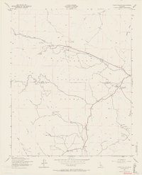
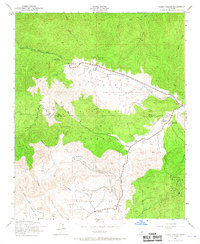
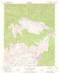
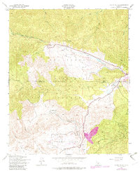
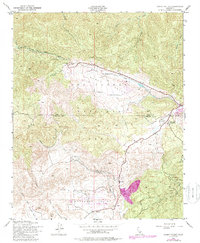
Cuddy Valley and Lockwood Valley form a high-altitude corridor between the rugged peaks of the Los Padres National Forest during the mid-1940s. The landscape reflects a mix of seasonal recreation and hard-rock extraction, as evidenced by the Camp Tejon Boy Scout Camp and several high-country workings including the Frazier Mine and Maude Mines. The Kern and Ventura county line cuts through the center of the sheet, where the Chuchupate Ranger Sta serves as a remote outpost for forest management. Scattered settlements like Stauffer and Cuddy Ranch anchor the valleys, while winding trails lead to specialized sites like the San Emigdio Girl Scout Camp and Mt Pinos Camp. Numerous seasonal drainages, such as San Emigdio Creek and Piru Creek, define the complex drainage patterns of this montane region.
Find a feature on this map
22 named features on this map. Tap any name to fly to it.
Don’t see what you’re looking for? This feature index may not catch every label — zoom into the map to look around manually.
Map Details
Editions of this 1943 Cuddy Valley Map
6 editions found
Other maps of this area

1903 · Mt. Pinos
USGS Topo · 1:125,000

1903 · Tejon
USGS Topo · 1:125,000

1942 · Eagle Rest Peak
USGS Topo · 1:24,000

1942 · Tecuya Creek
USGS Topo · 1:24,000

1942 · Frazier Mountain
USGS Topo · 1:24,000

1943 · San Guillermo
USGS Topo · 1:24,000

1943 · Sawmill Mountain
USGS Topo · 1:24,000

1943 · Lockwood Valley
USGS Topo · 1:24,000
1944 · San Guillermo
USGS Topo · 1:31,680
1944 · Sawmill Mountain
USGS Topo · 1:31,680