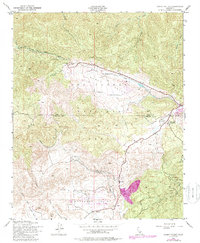
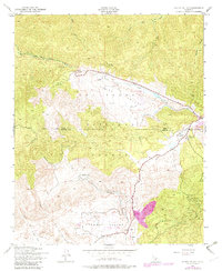
1943 Map of Cuddy Valley
USGS Topo · Published 1988About this map
Cuddy Valley and Lockwood Valley are the central figures of this topographic study, where the high-altitude landscape is defined by its early mid-century mining and recreation interests. Located on the border of Kern and Ventura Counties, the area showcases a network of mineral claims along the eastern ridges, including the Frazier Mine, Jewel Mine, and Gold Luck Mine. These workings suggest an era of active prospecting within the Los Padres National Forest.
Find a feature on this map
27 named features on this map. Tap any name to fly to it.
Don’t see what you’re looking for? This feature index may not catch every label — zoom into the map to look around manually.
Map Details
Editions of this 1943 Cuddy Valley Map
6 editions found
Other maps of this area

1903 · Mt. Pinos
USGS Topo · 1:125,000

1903 · Tejon
USGS Topo · 1:125,000

1942 · Eagle Rest Peak
USGS Topo · 1:24,000

1942 · Tecuya Creek
USGS Topo · 1:24,000

1942 · Frazier Mountain
USGS Topo · 1:24,000

1943 · San Guillermo
USGS Topo · 1:24,000

1943 · Sawmill Mountain
USGS Topo · 1:24,000

1943 · Cuddy Valley
USGS Topo · 1:24,000

1943 · Lockwood Valley
USGS Topo · 1:24,000
1944 · San Guillermo
USGS Topo · 1:31,680