
1943 Map of Lockwood Valley
USGS Topo · Published 1959About this map
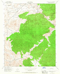
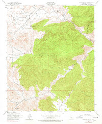
Lockwood Valley and the high elevations of the Los Padres National Forest dominate this wartime survey of northern Ventura County. Based on aerial photography from 1942, the map documents a landscape defined by seasonal drainages and remote outposts. Settlement is sparse, limited to family-named landholdings like the Lazy J Ranch, Snedden Ranch, and the Bainton-Trumbo Ranch, illustrating the cattle ranching and homesteading history of this corner of the Cuyama area. Water management is evident through the intricate branching of the North Fork Lockwood Creek and its counterparts. Significant high-country landmarks include the Thorn Meadows Guard Sta and the Kinkaid Cabin, while the terrain rises sharply toward the southern boundary at San Rafael Peak. These details provide a clear view of the road network and land use patterns prior to mid-century development.
Find a feature on this map
20 named features on this map. Tap any name to fly to it.
Don’t see what you’re looking for? This feature index may not catch every label — zoom into the map to look around manually.
Map Details
Editions of this 1943 Lockwood Valley Map
3 editions found
Other maps of this area

1903 · Mt. Pinos
USGS Topo · 1:125,000

1903 · Tejon
USGS Topo · 1:125,000

1942 · Frazier Mountain
USGS Topo · 1:24,000

1943 · Topatopa Mountains
USGS Topo · 1:24,000

1943 · San Guillermo
USGS Topo · 1:24,000

1943 · Sawmill Mountain
USGS Topo · 1:24,000

1943 · Cuddy Valley
USGS Topo · 1:24,000

1943 · Lion Canyon
USGS Topo · 1:24,000
1943 · Devils Heart Peak
USGS Topo · 1:24,000
1944 · San Guillermo
USGS Topo · 1:31,680