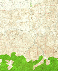
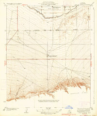
1942 Map of Eagle Rest Peak
USGS Topo · Published 1975About this map
San Emigdio Ranch marks the northern extent of this landscape where the high country drops away toward the southern edge of the San Joaquin Valley. Surveyed just before the Second World War, the map illustrates a transition from the lower ranching lands into the high elevations of the Los Padres National Forest. The terrain is defined by complex drainage systems, notably San Emigdio Creek and Pleitito Creek, which cut deep paths through the San Emigdio region.
Find a feature on this map
14 named features on this map. Tap any name to fly to it.
Don’t see what you’re looking for? This feature index may not catch every label — zoom into the map to look around manually.
Map Details
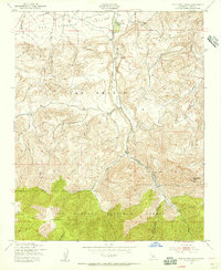
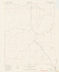
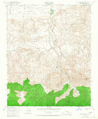
Editions of this 1942 Eagle Rest Peak Map
5 editions found
Other maps of this area

1903 · Mt. Pinos
USGS Topo · 1:125,000

1910 · Buena Vista Lake
USGS Topo · 1:125,000

1912 · Buena Vista Lake
USGS Topo · 1:125,000

1931 · Pentland Junction
USGS Topo · 1:31,680

1931 · Hayes Ranch
USGS Topo · 1:31,680

1933 · Hayes Ranch
USGS Topo · 1:31,680
1934 · Coal Oil Canyon
USGS Topo · 1:31,680

1934 · Pentland
USGS Topo · 1:31,680

1942 · Eagle Rest Peak
USGS Topo · 1:24,000

1943 · Apache Canyon
USGS Topo · 1:24,000