Loading...
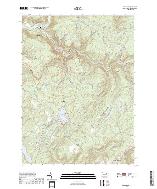
Loading map...2023 Map of Eagles Mere
USGS Topo · Published 2023About this map
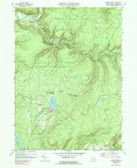
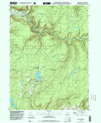
Loyalsock State Forest dominates the high plateau of Sullivan County, where deep incisions from Loyalsock Creek and its many tributaries create a landscape defined by dramatic elevation changes. The borough of Eagles Mere serves as a central hub, situated around the spring-fed Eagles Mere Lake. The map reveals a town plan with established residential avenues like Dunham Ave and Sullivan Ave, alongside the historic Eagles Mere Cem.
Find a feature on this map
74 named features on this map. Tap any name to fly to it.
Don’t see what you’re looking for? This feature index may not catch every label — zoom into the map to look around manually.
Map Details
Date Portrayed2023
Date Published2023
PublisherU.S. Geological Survey
Map TypeTopographic
Scale1:24000
Physical Dimensions24 x 29 inches
Editions of this 2023 Eagles Mere Map
This is the sole edition of this map. No revisions or reprints were ever made.
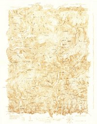
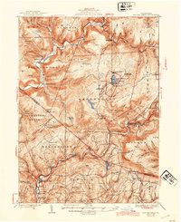
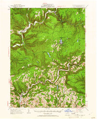
Historical Maps of Shrewsbury Township Through Time
6 maps found
Featured Locations
Source Details
SourceU.S. Geological Survey
CopyrightPublic Domain