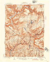
1932 Map of Eagles Mere
USGS Topo · Published 1944About this map
Eagles Mere serves as the focal point of this survey of the northern Pennsylvania highlands, where the Eagles Mere Lake resort community is surrounded by the deep drainages of Loyalsock Creek and Muncy Creek. The map documents a period when the timber and resort economies shaped the landscape, evidenced by the numerous mountain camps such as Nolan Camp and Bear Dunwoody Camp. The corridor along the Williamsport and North Branch RR anchors the southern half of the sheet, connecting settlements like Sonestown, Muncy Valley, and Picture Rocks.
Find a feature on this map
116 named features on this map. Tap any name to fly to it.
Don’t see what you’re looking for? This feature index may not catch every label — zoom into the map to look around manually.
Map Details
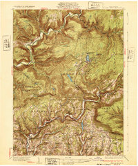
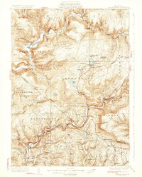
Editions of this 1932 Eagles Mere Map
4 editions found
Other maps of this area

1894 · Bloomsburg
USGS Topo · 1:62,500

1924 · Milton
USGS Topo · 1:62,500

1927 · Eagles Mere
USGS Topo · 1:48,000

1930 · Warrensville
USGS Topo · 1:62,500

1932 · Eagle Mere
USGS Topo · 1:62,500

1934 · Warrensville
USGS Topo · 1:62,500

1934 · Laporte
USGS Topo · 1:62,500

1935 · Hughesville
USGS Topo · 1:62,500

1942 · Canton
USGS Topo · 1:62,500

1943 · Monroeton
USGS Topo · 1:62,500