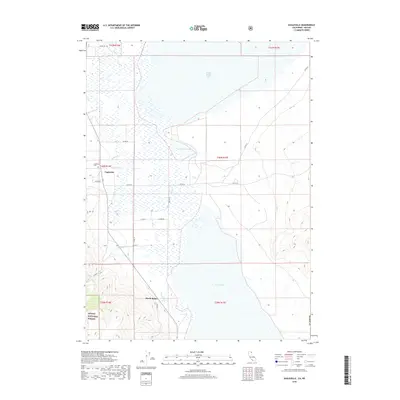
2018 Map of Eagleville
USGS Topo · Published 2018About this map
Eagleville sits at the foot of the Warner Mountains in this late 2010s survey, marking the transition between high desert peaks and the expansive basins of the Surprise Valley. The settlement is anchored by the Eagleville Cem and is the primary hub for the surrounding ranching and forest lands. To the south, Menlo Baths suggests the region's geothermal history, located near the southern edge of the valley floor.
Find a feature on this map
30 named features on this map. Tap any name to fly to it.
Don’t see what you’re looking for? This feature index may not catch every label — zoom into the map to look around manually.
Map Details
Editions of this 2018 Eagleville Map
This is the sole edition of this map. No revisions or reprints were ever made.
Other maps of this area

1886 · Alturas
USGS Topo · 1:250,000

1889 · Long Valley
USGS Topo · 1:250,000

1892 · Alturas
USGS Topo · 1:250,000

1954 · Vya
USGS Topo · 1:250,000

1954 · Alturas
USGS Topo · 1:250,000

1958 · Alturas
USGS Topo · 1:250,000

1958 · Vya
USGS Topo · 1:250,000

1962 · Alturas
USGS Topo · 1:250,000

1962 · Vya
USGS Topo · 1:250,000

1962 · Snake Lake
USGS Topo · 1:24,000