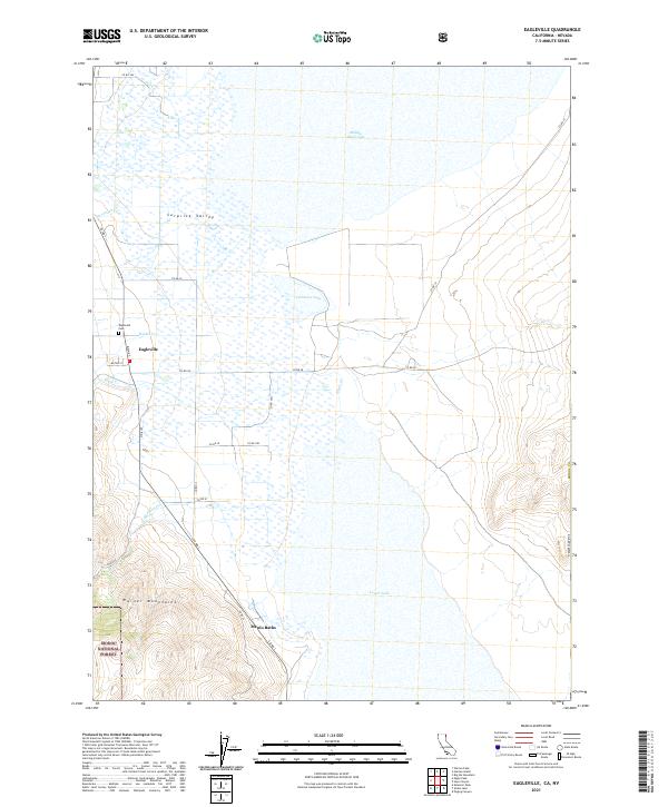
2021 Map of Eagleville
USGS Topo · Published 2021About this map
Surprise Valley serves as the focal point for this high-desert landscape in northeastern California, where the small community of Eagleville sits at the base of the Warner Mountains. The settlement is defined by its compact grid, featuring Main St and Milton St, with the Eagleville Cem located just to the northwest. This area illustrates the classic Great Basin interface between high peaks and seasonal lake basins, as numerous drainages like Eagle Cr and Raider Cr descend from the Modoc National Forest into the valley floor.
Find a feature on this map
34 named features on this map. Tap any name to fly to it.
Don’t see what you’re looking for? This feature index may not catch every label — zoom into the map to look around manually.
Map Details
Editions of this 2021 Eagleville Map
This is the sole edition of this map. No revisions or reprints were ever made.
Other maps of this area

1886 · Alturas
USGS Topo · 1:250,000

1889 · Long Valley
USGS Topo · 1:250,000

1892 · Alturas
USGS Topo · 1:250,000

1954 · Vya
USGS Topo · 1:250,000

1954 · Alturas
USGS Topo · 1:250,000

1958 · Alturas
USGS Topo · 1:250,000

1958 · Vya
USGS Topo · 1:250,000

1962 · Alturas
USGS Topo · 1:250,000

1962 · Vya
USGS Topo · 1:250,000

1962 · Snake Lake
USGS Topo · 1:24,000