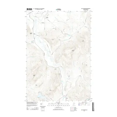
2014 Map of East Andover
USGS Topo · Published 2014About this map
East Andover and South Andover anchor this landscape where the Ellis River winds through narrow valleys between significant peaks. The map documents a geography defined by its steep relief, from the heights of Black Mountain and Whitecap Mountain down to Coon Hollow and Pond Stream. Several small cemeteries, including Farmers Hill Cem and Upper West Ellis Cem, are scattered along the river corridor, providing vital points of reference for local family history and genealogy.
Find a feature on this map
69 named features on this map. Tap any name to fly to it.
Don’t see what you’re looking for? This feature index may not catch every label — zoom into the map to look around manually.
Map Details
Editions of this 2014 East Andover Map
This is the sole edition of this map. No revisions or reprints were ever made.
Other maps of this area

1911 · Bryant Pond
USGS Topo · 1:62,500

1914 · Bethel
USGS Topo · 1:62,500

1914 · Bryant Pond
USGS Topo · 1:62,500

1927 · Rumford
USGS Topo · 1:48,000

1930 · Rumford
USGS Topo · 1:62,500

1940 · Bethel
USGS Topo · 1:62,500

1941 · Bethel
USGS Topo · 1:62,500

1942 · Bryant Pond
USGS Topo · 1:62,500

1943 · Old Speck Mtn
USGS Topo · 1:62,500

1945 · Old Speck Mtn
USGS Topo · 1:62,500