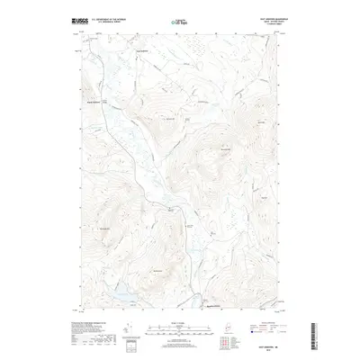
2018 Map of East Andover
USGS Topo · Published 2018About this map
East Andover and South Andover occupy the valley of the Ellis River in this detailed survey of Oxford County. The landscape is defined by the sharp transition between the river bottomlands and the surrounding peaks, including Whitecap Mtn and Plumbago Mtn. Local history is preserved through a series of family and community burial grounds, such as Farmers Hill Cem and the Upper West Ellis Cem, which are scattered throughout the hillsides. The western reach of the map features the iconic Lovejoy Bridge, while the southern edge transitions into the Androscoggin River corridor at Rumford Point. This topographic record highlights the traditional settlement patterns of western Maine, where small villages and homesteads like those on Farmers Hill Rd follow the narrow habitable valleys carved between the granite highlands.
Find a feature on this map
60 named features on this map. Tap any name to fly to it.
Don’t see what you’re looking for? This feature index may not catch every label — zoom into the map to look around manually.
Map Details
Editions of this 2018 East Andover Map
This is the sole edition of this map. No revisions or reprints were ever made.
Other maps of this area

1911 · Bryant Pond
USGS Topo · 1:62,500

1914 · Bethel
USGS Topo · 1:62,500

1914 · Bryant Pond
USGS Topo · 1:62,500

1927 · Rumford
USGS Topo · 1:48,000

1930 · Rumford
USGS Topo · 1:62,500

1940 · Bethel
USGS Topo · 1:62,500

1941 · Bethel
USGS Topo · 1:62,500

1942 · Bryant Pond
USGS Topo · 1:62,500

1943 · Old Speck Mtn
USGS Topo · 1:62,500

1945 · Old Speck Mtn
USGS Topo · 1:62,500