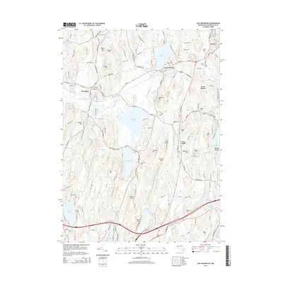
2015 Map of East Brookfield
USGS Topo · Published 2015About this map
The Quaboag River and its expansive wetlands anchor this Worcester County landscape, winding between the historic settlements of Brookfield, East Brookfield, and Spencer. This 2015 data reflects a terrain deeply shaped by its glacial hydrology, where large water bodies like Lake Lashaway, Quaboag Pond, and the twin Quacumquasit Pond dominate the lowlands. The central corridor is defined by the CSX Transportation line, which follows the river valley through a series of dramatic elevation changes marked by numerous named peaks such as Teneriffe Hill and Hitchcock Mtn. For local historians and genealogists, the map provides precise locations for long-established burial grounds, including Brookfield Cem and the Podunk Cem located near Union Chapel. The landscape transitions from the industrial-era rail hubs in the north to the more secluded highlands of Walker Mtn and Carpenter Rocks to the south.
Find a feature on this map
159 named features on this map. Tap any name to fly to it.
Don’t see what you’re looking for? This feature index may not catch every label — zoom into the map to look around manually.
Map Details
Editions of this 2015 East Brookfield Map
This is the sole edition of this map. No revisions or reprints were ever made.
Other maps of this area

1885 · Worcester
USGS Topo · 1:62,500

1886 · Worcester
USGS Topo · 1:62,500

1887 · Brookfield
USGS Topo · 1:62,500

1887 · Barre
USGS Topo · 1:62,500

1889 · Webster
USGS Topo · 1:62,500

1889 · Barre
USGS Topo · 1:62,500

1890 · Brookfield
USGS Topo · 1:62,500

1892 · Webster
USGS Topo · 1:62,500

1892 · Worcester
USGS Topo · 1:62,500

1893 · Brookfield
USGS Topo · 1:62,500