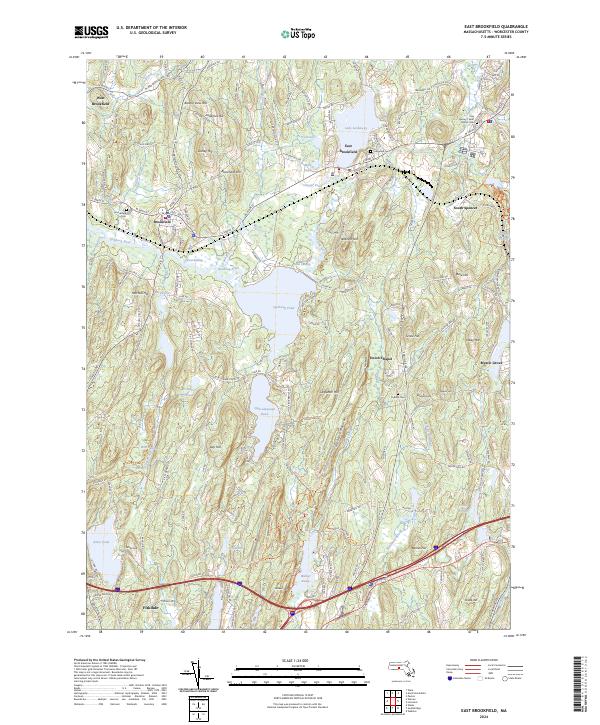
2024 Map of East Brookfield
USGS Topo · Published 2024About this map
Lake Lashaway and Quaboag Pond define the central hydrologic character of this Worcester County landscape, where the Quaboag River and East Brookfield River navigate a series of interconnected ponds and wetlands like Great Swamp. The map details the historical spatial relationship between Brookfield, West Brookfield, and East Brookfield, alongside smaller settlements like South Spencer and Fiskdale. Local history and genealogy are well-represented by several burial grounds, including the Brookfield Cem and the Holy Rosary / Saint Mary's Cem.
Find a feature on this map
158 named features on this map. Tap any name to fly to it.
Don’t see what you’re looking for? This feature index may not catch every label — zoom into the map to look around manually.
Map Details
Editions of this 2024 East Brookfield Map
This is the sole edition of this map. No revisions or reprints were ever made.
Other maps of this area

1885 · Worcester
USGS Topo · 1:62,500

1886 · Worcester
USGS Topo · 1:62,500

1887 · Brookfield
USGS Topo · 1:62,500

1887 · Barre
USGS Topo · 1:62,500

1889 · Webster
USGS Topo · 1:62,500

1889 · Barre
USGS Topo · 1:62,500

1890 · Brookfield
USGS Topo · 1:62,500

1892 · Webster
USGS Topo · 1:62,500

1892 · Worcester
USGS Topo · 1:62,500

1893 · Brookfield
USGS Topo · 1:62,500