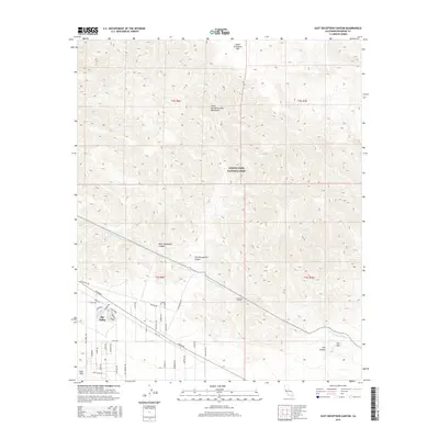
2015 Map of East Deception Canyon
USGS Topo · Published 2015About this map
Sky Valley sits at the southwestern edge of a desert landscape defined by dramatic elevation changes and significant water infrastructure. The southern portion of the map is dominated by the intricate residential street network of Sky Valley, including Skyline Dr and Dillon Rd, which transition abruptly into the wilderness of the Little San Bernardino Mountains. A major technical feat of the era is visible in the transit of the Colorado River Aqueduct, which skirts the foothills before entering the Coachella Tunnels to navigate the subterranean path through the range.
Find a feature on this map
47 named features on this map. Tap any name to fly to it.
Don’t see what you’re looking for? This feature index may not catch every label — zoom into the map to look around manually.
Map Details
Editions of this 2015 East Deception Canyon Map
This is the sole edition of this map. No revisions or reprints were ever made.
Other maps of this area
1941 · Edom
USGS Topo · 1:62,500
1944 · Edom
USGS Topo · 1:62,500
1944 · Pinyon Well
USGS Topo · 1:62,500
1947 · Santa Ana
USGS Topo · 1:250,000
1949 · Santa Ana
USGS Topo · 1:250,000
1953 · San Bernardino
USGS Topo · 1:250,000
1955 · Twentynine Palms
USGS Topo · 1:62,500
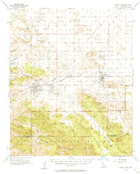
1955 · Joshua Tree
USGS Topo · 1:62,500
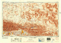
1956 · San Bernardino
USGS Topo · 1:250,000
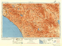
1956 · Santa Ana
USGS Topo · 1:250,000