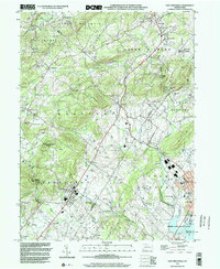
2023 Map of East Greenville
USGS Topo · Published 2023About this map
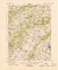
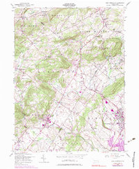
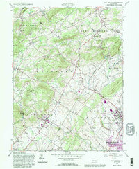
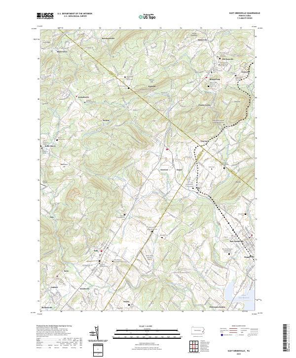
The West Branch Perkiomen Creek and Perkiomen Creek converge in this densely detailed landscape of the Pennsylvania Dutch countryside, where Berks, Lehigh, and Montgomery counties meet. The region is defined by a deep religious heritage, evidenced by a high density of denominational landmarks such as the Washington Schwenkfelder Cem, Most Blessed Sacrament Church Cem, and the Zionsville Reformed Church Cem. These sites, along with family-named burial grounds like the Fedderolf-Bittenbender Cem, provide a rich record of the area's genealogical history.
Find a feature on this map
241 named features on this map. Tap any name to fly to it.
Don’t see what you’re looking for? This feature index may not catch every label — zoom into the map to look around manually.
Map Details
Editions of this 2023 East Greenville Map
This is the sole edition of this map. No revisions or reprints were ever made.
Historical Maps of Maple Grove Through Time
5 maps found