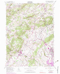
1956 Map of East Greenville
USGS Topo · Published 1983About this map
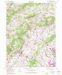
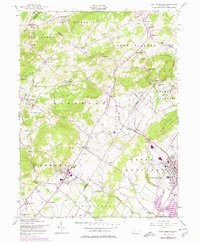
South Mountain and Furnace Hill define the northern highlands of this mid-century survey, where the borders of Berks, Lehigh, and Montgomery counties meet. The landscape is a network of small, established villages including Old Zionsville, Bally, and Hensingersville, many of which developed along early corridors like the Kings Highway. In the southeast, the urban centers of East Greenville and Pennsburg show significant detail, including the grounds of the Perkiomen Preparatory Sch and the New Goshenhoppen Ch. The Reading railroad line cuts through these towns, following the valley of the Perkiomen Creek. Cultural updates from the 1970s are visible in purple, highlighting the development of the Green Lane Reservoir and the expansion of residential clusters near Perkiomen Heights. This sheet captures a transition from traditional agricultural settlements and isolated country churches like St Peters Ch to modern infrastructure like the Drive-in Theater near Shimerville.
Find a feature on this map
61 named features on this map. Tap any name to fly to it.
Don’t see what you’re looking for? This feature index may not catch every label — zoom into the map to look around manually.
Map Details
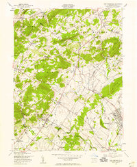
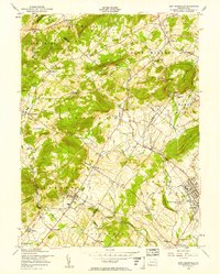
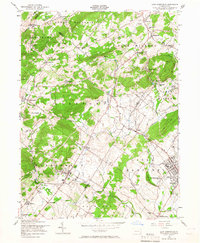
Editions of this 1956 East Greenville Map
6 editions found
Other maps of this area

1888 · Quakertown
USGS Topo · 1:62,500

1890 · Quakertown
USGS Topo · 1:62,500

1894 · Allentown
USGS Topo · 1:62,500

1894 · Quakertown
USGS Topo · 1:62,500

1902 · Boyertown
USGS Topo · 1:62,500

1902 · Slatington
USGS Topo · 1:62,500

1937 · Allentown West
USGS Topo · 1:48,000

1939 · Allentown
USGS Topo · 1:62,500

1942 · Norristown
USGS Topo · 1:125,000

1942 · Allentown West
USGS Topo · 1:62,500