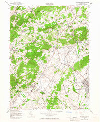
1956 Map of East Greenville
USGS Topo · Published 1966About this map
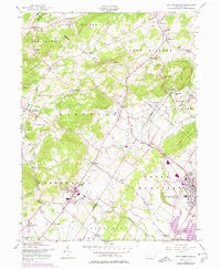
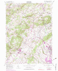
Old Zionsville and the neighboring village of Zionsville anchor the northern reaches of this landscape, where the Lehigh and Montgomery county lines meet. The terrain is defined by the prominent rise of South Mountain and Furnace Hill, which separate the drainage of Little Lehigh Creek from the headwaters of the Perkiomen. To the south, the borough of East Greenville and neighboring Pennsburg show a concentrated pattern of development near the Perkiomen Creek, highlighted by the Perkiomen Preparatory Sch.
Find a feature on this map
62 named features on this map. Tap any name to fly to it.
Don’t see what you’re looking for? This feature index may not catch every label — zoom into the map to look around manually.
Map Details
Editions of this 1956 East Greenville Map
6 editions found
Other maps of this area

1888 · Quakertown
USGS Topo · 1:62,500

1890 · Quakertown
USGS Topo · 1:62,500

1894 · Allentown
USGS Topo · 1:62,500

1894 · Quakertown
USGS Topo · 1:62,500

1902 · Boyertown
USGS Topo · 1:62,500

1902 · Slatington
USGS Topo · 1:62,500

1937 · Allentown West
USGS Topo · 1:48,000

1939 · Allentown
USGS Topo · 1:62,500

1942 · Norristown
USGS Topo · 1:125,000

1942 · Allentown West
USGS Topo · 1:62,500