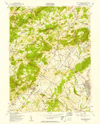
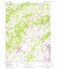
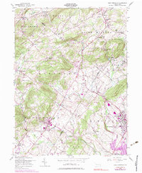
1956 Map of East Greenville
USGS Topo · Published 1958About this map
The borough of East Greenville serves as a focal point in this mid-century survey of the Pennsylvania Dutch countryside, where the borders of Montgomery, Lehigh, and Berks counties converge. This area is characterized by a dense network of traditional crossroads settlements and long-standing German religious institutions, such as New Goshenhoppen and the prominent St Peters Ch near Sigmund. The landscape is defined by the winding course of Perkiomen Creek and its tributaries, including Furnace Creek and Swabia Creek, which historically supported local industry and agriculture.
Find a feature on this map
71 named features on this map. Tap any name to fly to it.
Don’t see what you’re looking for? This feature index may not catch every label — zoom into the map to look around manually.
Map Details
Editions of this 1956 East Greenville Map
6 editions found
Other maps of this area

1888 · Quakertown
USGS Topo · 1:62,500

1890 · Quakertown
USGS Topo · 1:62,500

1894 · Allentown
USGS Topo · 1:62,500

1894 · Quakertown
USGS Topo · 1:62,500

1902 · Boyertown
USGS Topo · 1:62,500

1902 · Slatington
USGS Topo · 1:62,500

1937 · Allentown West
USGS Topo · 1:48,000

1939 · Allentown
USGS Topo · 1:62,500

1942 · Norristown
USGS Topo · 1:125,000

1942 · Allentown West
USGS Topo · 1:62,500