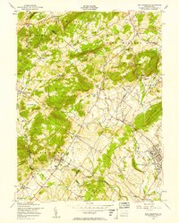
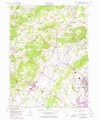
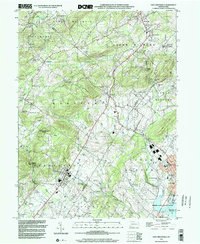
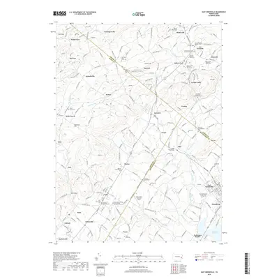
1956 Map of East Greenville
USGS Topo · Published 1956About this map
East Greenville and Pennsburg anchor the southeastern corner of this mid-century survey, showcasing the educational and spiritual hubs of the Upper Perkiomen Valley. The Perkiomen Preparatory Sch and historic New Goshenhoppen Ch represent the region's deep cultural roots, while the Reading railroad corridor provides a clear industrial backbone through towns like Bechtelsville and Bally. The landscape transitions from the developed boroughs into the high ground of Blackhead Hill and Furnace Hill, where smaller settlements such as Seisholtzville and Huffs Church remain connected by winding rural roads.
Find a feature on this map
68 named features on this map. Tap any name to fly to it.
Don’t see what you’re looking for? This feature index may not catch every label — zoom into the map to look around manually.
Map Details
Editions of this 1956 East Greenville Map
6 editions found
Historical Maps of Longswamp Township Through Time
9 maps found
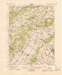
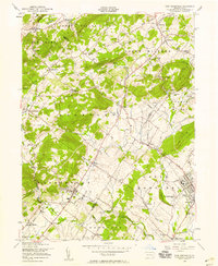
1943 East Greenville
Montgomery County, PA
1956 East Greenville
Montgomery County, PA
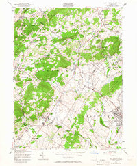
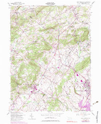
1992 East Greenville
Montgomery County, PA
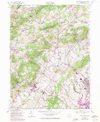
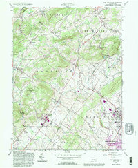
1999 East Greenville
Montgomery County, PA
2010 East Greenville
Montgomery County, PA
2013 East Greenville
Montgomery County, PA
2016 East Greenville
Montgomery County, PA
2019 East Greenville
Montgomery County, PA
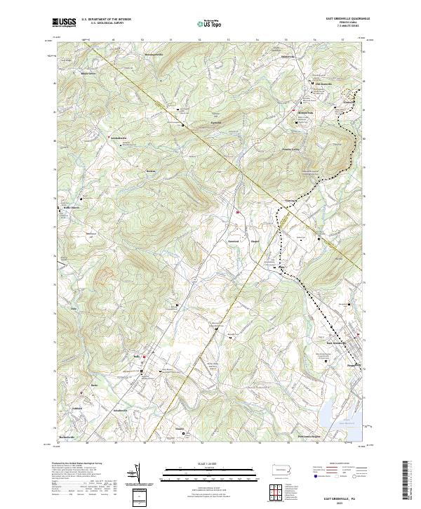
2023 East Greenville
Montgomery County, PA