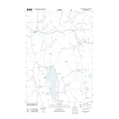
2012 Map of East Middlebury
USGS Topo · Published 2012About this map
Lake Dunmore and the surrounding Green Mountain landscape anchor this 2012 study, showcasing a region defined by its prominent ridges and recreational heritage. The terrain transitions from the heights of Mount Moosalamoo and Rattlesnake Point down to the shores where seasonal camps like Camp Keewaydin and Camp Brebeuf for Boys are established. To the east, the settlement of Ripton sits near the Robert Frost Wayside, reflecting the area's literary and cultural associations.
Find a feature on this map
97 named features on this map. Tap any name to fly to it.
Don’t see what you’re looking for? This feature index may not catch every label — zoom into the map to look around manually.
Map Details
Editions of this 2012 East Middlebury Map
This is the sole edition of this map. No revisions or reprints were ever made.
Other maps of this area

1902 · Brandon
USGS Topo · 1:62,500

1903 · Middlebury
USGS Topo · 1:62,500

1904 · Brandon
USGS Topo · 1:62,500

1905 · Middlebury
USGS Topo · 1:62,500

1915 · Rochester
USGS Topo · 1:62,500

1917 · Rochester
USGS Topo · 1:62,500

1919 · Lincoln Mountain
USGS Topo · 1:62,500

1920 · Lincoln Mountain
USGS Topo · 1:48,000

1920 · Brandon
USGS Topo · 1:62,500

1920 · Middlebury
USGS Topo · 1:62,500